Steep incline
Location: Calico Creek
Location: Gympie Regional
GPS coordinates: -26.32391,152.63165
Latest update: November 2, 2025 04:20

Matilda
9 km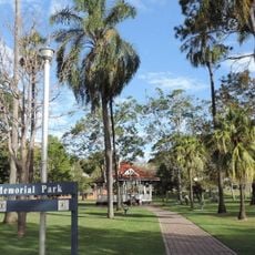
Gympie Memorial Park
15.1 km
St Patricks Church, Gympie
15 km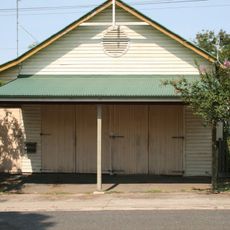
Gympie Ambulance Station
14.9 km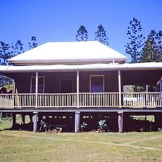
Andrew Fisher's Cottage
13.4 km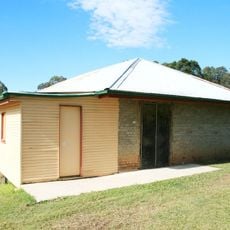
Traveston Powder Magazine
15.1 km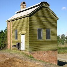
No. 1 Scottish Gympie Mine and Battery
13.3 km
Monkland State School Residence
13.5 km
Amamoor National Park
1.4 km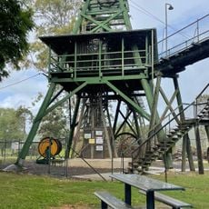
Gympie Gold Mining and Historical Museum
13.4 km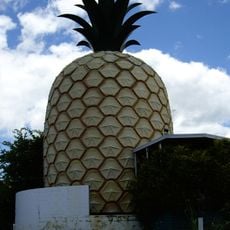
Big Pineapple
15.2 km
Steep track
10.3 km
No 10 Crossing
9.9 km
Steep track
12.3 km
Log Crossing
13.4 km
Mary's Hole
10.7 km
Historic Railway Bridge
10 km
No 1 Crossing
4.6 km
Steep track
11.9 km
Steep track
12.3 km
Gympie Muster Site
8.2 km
Matilda the Kangaroo
10 km
Steep track
13 km
Cooke's Knob
1.6 km
Dagun Amamoor Lookout
3.9 km
Scenic viewpoint
11 km
Diamondfield Lookout
3.7 km
Memorial, war memorial
13.3 kmReviews
Visited this place? Tap the stars to rate it and share your experience / photos with the community! Try now! You can cancel it anytime.
Discover hidden gems everywhere you go!
From secret cafés to breathtaking viewpoints, skip the crowded tourist spots and find places that match your style. Our app makes it easy with voice search, smart filtering, route optimization, and insider tips from travelers worldwide. Download now for the complete mobile experience.

A unique approach to discovering new places❞
— Le Figaro
All the places worth exploring❞
— France Info
A tailor-made excursion in just a few clicks❞
— 20 Minutes