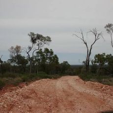
The Beach
Location: Wyandra
Location: Paroo Shire
GPS coordinates: -27.25000,145.96854
Latest update: November 1, 2025 14:58
Koroit opal field
71.1 km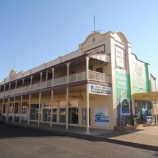
Hotel Corones
98.2 km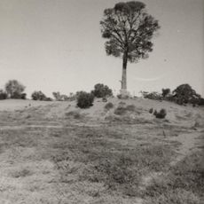
The Robbers Tree
96 km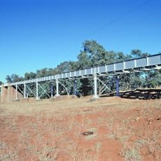
Angellala Rail Bridge
130.3 km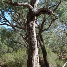
Landsborough's Blazed Tree
66.6 km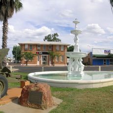
Cunnamulla War Memorial Fountain
95.3 km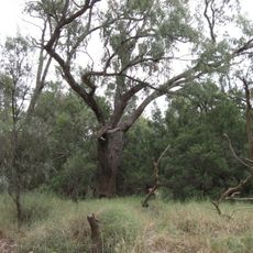
Landsborough's Blazed Tree (Camp 67)
87.5 km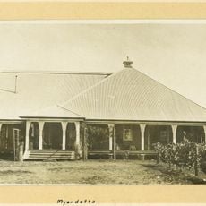
Myendetta Homestead
76.3 km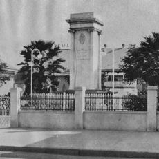
Charleville War Memorial
98.1 km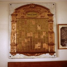
Paroo Shire Honour Board
95.6 km
Queensland National Bank, Charleville
98.4 km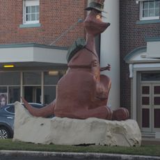
Matilda the Kangaroo
98.1 km
Angellalla Creek Explosion Site
69.4 km
Cunnamulla Fella Statue
95.3 km
TOEY
98.3 km
The Old Albert Park Brewery Site
99.5 km
Rick's Memorial
135.3 km
Bilby Experience
98 km
Cunnamulla Fella Centre
95.4 km
Royal Flying Doctor Service Charleville Visitor Centre
97 km
Beechal Creek Stock Management Demonstration Site
89.5 km
Scenic viewpoint
100.4 km
Sunset Viewing Point
96 km
War Memorial
98.1 km
Aviation Memorial
103.4 km
Angellalla Creek Explosion Monument
69.4 km
Rick's Memorial
135.4 km
Memorial, war memorial
1.1 kmReviews
Visited this place? Tap the stars to rate it and share your experience / photos with the community! Try now! You can cancel it anytime.
Discover hidden gems everywhere you go!
From secret cafés to breathtaking viewpoints, skip the crowded tourist spots and find places that match your style. Our app makes it easy with voice search, smart filtering, route optimization, and insider tips from travelers worldwide. Download now for the complete mobile experience.

A unique approach to discovering new places❞
— Le Figaro
All the places worth exploring❞
— France Info
A tailor-made excursion in just a few clicks❞
— 20 Minutes