Moor-Tretbecken
Location: Schrems
Accessibility: Wheelchair inaccessible
GPS coordinates: 48.79857,15.10236
Latest update: November 18, 2025 21:22

Himmelsleiter
520 m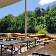
UnterWasserReich
1.3 km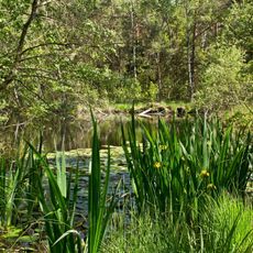
Naturpark Hochmoor Schrems
258 m
Unterwasserreich, Schrems
1.4 km
Brunnberg
1.1 km
Steinbruch Hartberg
2 km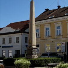
Kaiser-Franz-Joseph-Gedächtnisobelisk, Schrems
2.4 km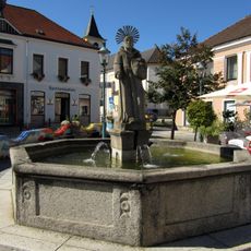
Felixbrunnen, Schrems
2.5 km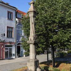
Pranger Schrems
2.4 km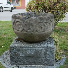
Kornmetzen Schrems
2.4 km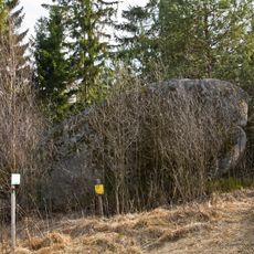
Wasserstein Rock
2.5 km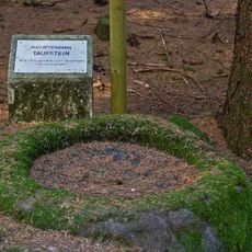
Felsgebilde Taufstein
1.8 km
Lussberg
2.1 km
Menhirs
1.6 km
Memorial stone, memorial
2.3 km
Steinhöhle
656 m
Hamerlingdenkmal
2.3 km
Männergesangsverein-Denkmal
2.4 km
Memorial
2.5 km
Wayside shrine
852 m
Nupsi
187 m
Memorial
2.4 km
Memorial
2.4 km
Wayside cross
1.1 km
Wayside shrine
1 km
Schlagkreuz
1.7 km
Wayside shrine, Christianity
1.4 km
Memorial, memorial cross
1.9 kmVisited this place? Tap the stars to rate it and share your experience / photos with the community! Try now! You can cancel it anytime.
Discover hidden gems everywhere you go!
From secret cafés to breathtaking viewpoints, skip the crowded tourist spots and find places that match your style. Our app makes it easy with voice search, smart filtering, route optimization, and insider tips from travelers worldwide. Download now for the complete mobile experience.

A unique approach to discovering new places❞
— Le Figaro
All the places worth exploring❞
— France Info
A tailor-made excursion in just a few clicks❞
— 20 Minutes