Fotopoint Kaprun
Location: Kaprun
Website: http://kaprun.it-wms.com/archive/archive.php?cam=1
GPS coordinates: 47.16754,12.71612
Latest update: November 21, 2025 05:22
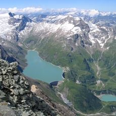
Stausee Mooserboden
571 m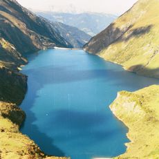
Stausee Wasserfallboden
2.3 km
Klockerin
2.7 km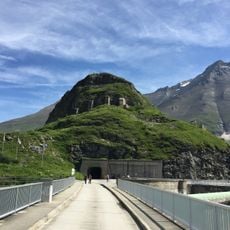
Höhenburg
571 m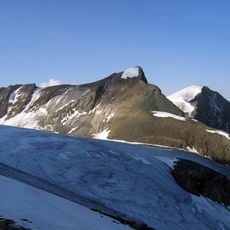
Hinterer Bratschenkopf
2.7 km
Wielingerkogel
1.3 km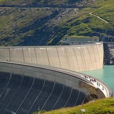
Barrage de Kaprun
300 m
Grießkogelkees
2.8 km
Klockerinkees
1.9 km
Hochweißenfeldkees
2 km
Kaindlkees
2.7 km
Kaindlgrat
2.5 km
Nasse Wand
1.4 km
Memorial "Heidnische Kirche"
21 m
Unterer Fochezkopf
2.1 km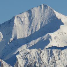
Oberer Fochezkopf
2.4 km
Geralkopf
2.9 km
Kleiner Grießkogel
1.7 km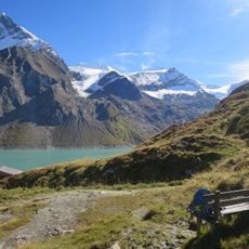
Kleiner Bärenkopf
2.4 km
Wielingerkees
2.6 km
Klettersteig MOBO 107
228 m
Scenic viewpoint
568 m
Memorial
961 m
Aus Arbeit und Opfer ein Werk
23 m
Fritz Vierhapper
2.1 km
Schäfer| Schrottenloher | Finsterwalder
1.8 km
Grünberger
1.8 km
Gerhard
1.8 kmReviews
Visited this place? Tap the stars to rate it and share your experience / photos with the community! Try now! You can cancel it anytime.
Discover hidden gems everywhere you go!
From secret cafés to breathtaking viewpoints, skip the crowded tourist spots and find places that match your style. Our app makes it easy with voice search, smart filtering, route optimization, and insider tips from travelers worldwide. Download now for the complete mobile experience.

A unique approach to discovering new places❞
— Le Figaro
All the places worth exploring❞
— France Info
A tailor-made excursion in just a few clicks❞
— 20 Minutes