Pumperskirchenstein
Location: Heidenreichstein
GPS coordinates: 48.86110,15.09663
Latest update: November 26, 2025 21:25
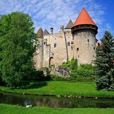
Burg Heidenreichstein
1.9 km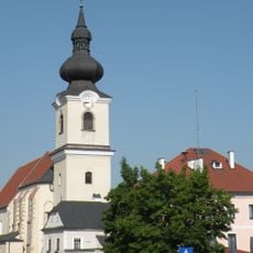
Stadtpfarrkirche Heidenreichstein
1.9 km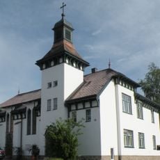
Versöhnungskirche Heidenreichstein
2.1 km
Käsemacherwelt
2.2 km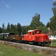
Waldviertler Schmalspurbahnverein
1.6 km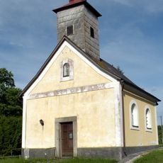
Ortskapelle Altmanns
1.4 km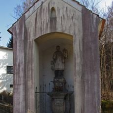
Johannes Nepomuk-Kapelle
2.2 km
House of the Moor
1.1 km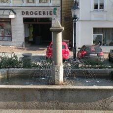
Brunnen
2 km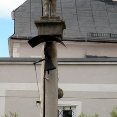
Pranger Heidenreichstein
2 km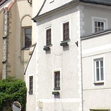
Böhmhaus Heidenreichstein
2 km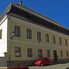
Pfarrhof
1.9 km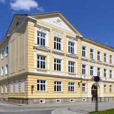
Schule
1.9 km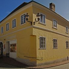
Wohnhaus, ehem. Hackerhaus
2 km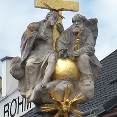
Dreifaltigkeitssäule Heidenreichstein
2 km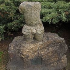
Figur Rolandstorso
1.9 km
Haupt-Platz
1.2 km
Theater unterm Giebel
2.1 km
Galerie Zeh
1.1 km
Kirchenstein
1.3 km
Wayside shrine
743 m
Gedenkpilz Brunner
253 m
Genossenschaftskreuz
1.9 km
Wayside shrine
1.9 km
Memorial
1.8 km
Inghofer
830 m
Wayside shrine
2 km
Den Toten beider Weltkriege
1.4 kmVisited this place? Tap the stars to rate it and share your experience / photos with the community! Try now! You can cancel it anytime.
Discover hidden gems everywhere you go!
From secret cafés to breathtaking viewpoints, skip the crowded tourist spots and find places that match your style. Our app makes it easy with voice search, smart filtering, route optimization, and insider tips from travelers worldwide. Download now for the complete mobile experience.

A unique approach to discovering new places❞
— Le Figaro
All the places worth exploring❞
— France Info
A tailor-made excursion in just a few clicks❞
— 20 Minutes