Römischer Meilenstein
Location: St. Marienkirchen an der Polsenz
GPS coordinates: 48.24939,13.95031
Latest update: October 11, 2024 01:58
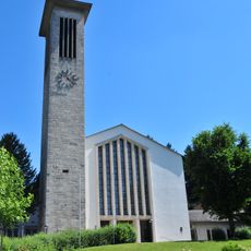
Pfarrkirche Bad Schallerbach
2.9 km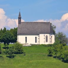
Church on the Magdalenaberg
3.2 km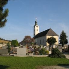
Sankt Petrus
2.8 km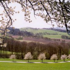
Naturpark Obst-Hügel-Land
2.8 km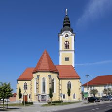
Parish church in Sankt Marienkirchen an der Polsenz
2.2 km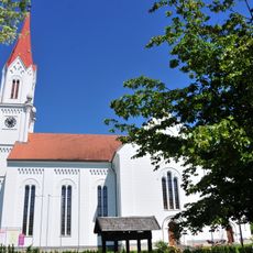
Evangelische Pfarrkirche Wallern an der Trattnach
1.8 km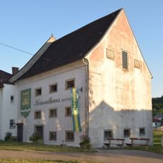
Heimathaus Sankt Marienkirchen an der Polsenz
2.1 km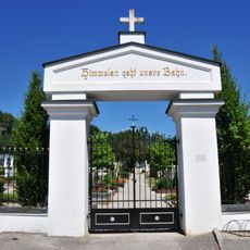
Evang. Friedhof
1.7 km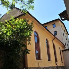
Spitals- /Anstaltskapelle des Gästehauses St. Raphael
2.9 km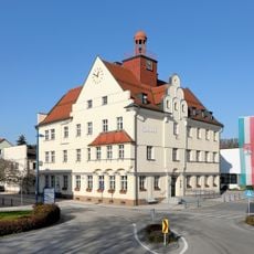
Town hall of Bad Schallerbach
3 km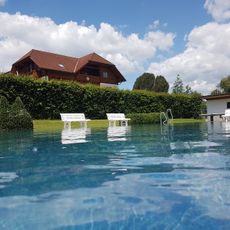
Samareiner Freibad
2.4 km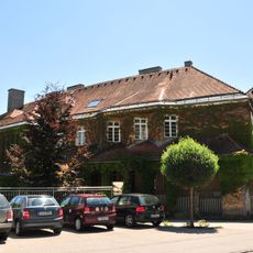
Personalwohnhaus des ehem. Kurhauses
3 km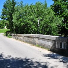
Straßenbrücke, Breitwiesenbrücke
3.1 km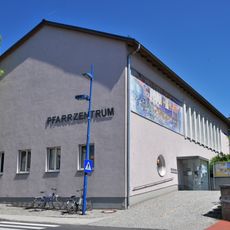
Pfarrzentrum
2.9 km
Heimatmuseum Wallern
1.9 km
Kuranstalt/Sanatorium, Schallerbacherhof
3 km
Eiche in St. Marienkirchen an der Polsenz
2.5 km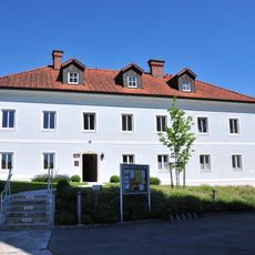
Evang. Pfarrhof
1.8 km
Personalhaus St. Raphael
2.9 km
Pfarrhof
2.1 km
"Burgstall" Gronall
3.1 km
Burgstall beim Pöchbauer
1.2 km
Wayside shrine
2 km
Wayside cross
2.8 km
Wayside shrine
1.2 km
Schliergrubenkapelle
1.2 km
Wayside shrine
3.1 km
Florianus
3.2 kmReviews
Visited this place? Tap the stars to rate it and share your experience / photos with the community! Try now! You can cancel it anytime.
Discover hidden gems everywhere you go!
From secret cafés to breathtaking viewpoints, skip the crowded tourist spots and find places that match your style. Our app makes it easy with voice search, smart filtering, route optimization, and insider tips from travelers worldwide. Download now for the complete mobile experience.

A unique approach to discovering new places❞
— Le Figaro
All the places worth exploring❞
— France Info
A tailor-made excursion in just a few clicks❞
— 20 Minutes