
Schmidataler Lebensbaumkreis
Location: Sitzendorf an der Schmida
GPS coordinates: 48.57528,15.94463
Latest update: November 14, 2025 21:29
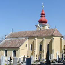
Pfarrkirche Frauendorf
695 m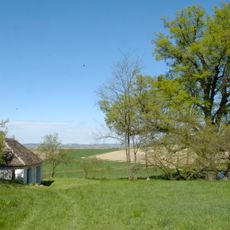
Keller Bei den Linden, Frauendorf an der Schmida
540 m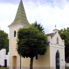
Ortskapelle Kleinkirchberg
2.3 km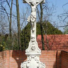
Friedhofskreuz
2.3 km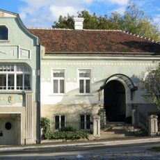
Villa Wieninger
2.5 km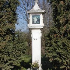
Bildstock
294 m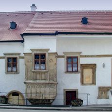
Ehemaliges Waisen- und Krankenhaus
2.5 km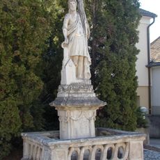
Figur heiliger Florian
843 m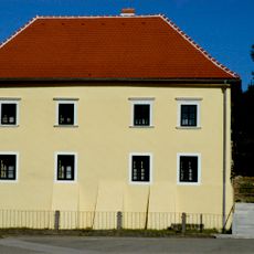
Ehemaliger Pfarrhof
617 m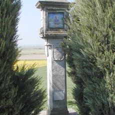
Bildstock
1.5 km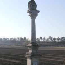
Figurenbildstock, Pietà
1.9 km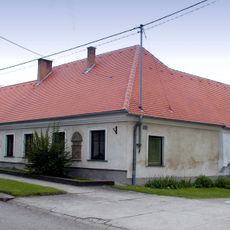
Ehemaliger protestantischer Pfarrhof
2.5 km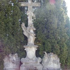
Friedhofskreuz Frauendorf, Gemeinde Sitzendorf
715 m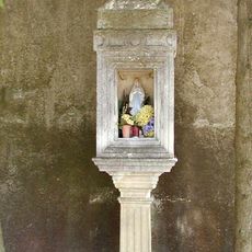
Bildstock
2.3 km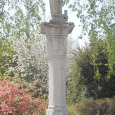
Figurenbildstock
2.3 km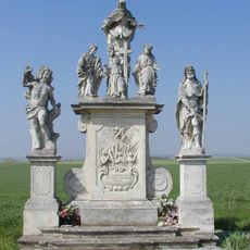
Figurengruppe
2.3 km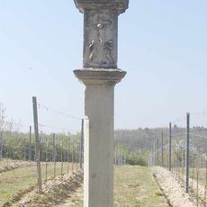
Bildstock
1.9 km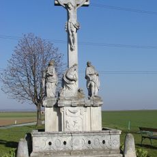
Figuren, Kreuzigungsgruppe
1.1 km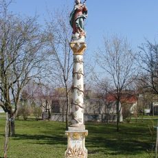
Mariensäule, Maria Immaculata
634 m
Frauendorfer Ortsblick
576 m
Mantler-Kreuz
1.1 km
3 Frauen
827 m
Kriegerdenkmal
622 m
Wayside cross
720 m
Hl. Florian
843 m
Unbefleckte Empfängnis
634 m
Wayside shrine
2.2 km
Dreifaltigkeit
2.3 kmReviews
Visited this place? Tap the stars to rate it and share your experience / photos with the community! Try now! You can cancel it anytime.
Discover hidden gems everywhere you go!
From secret cafés to breathtaking viewpoints, skip the crowded tourist spots and find places that match your style. Our app makes it easy with voice search, smart filtering, route optimization, and insider tips from travelers worldwide. Download now for the complete mobile experience.

A unique approach to discovering new places❞
— Le Figaro
All the places worth exploring❞
— France Info
A tailor-made excursion in just a few clicks❞
— 20 Minutes