
Spojení Konice - 35707A
Location: Ludmírov
Website: http://pilanakopci.cz/index.php?obsah=historie
GPS coordinates: 49.62253,16.87109
Latest update: October 11, 2024 02:29
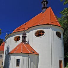
Church of St. Libor
1.5 km
Skalky
1.4 km
Rudka
1 km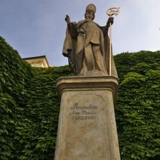
Socha svatého Libora
1.5 km
Socha svatého Jana Nepomuckého
1.6 km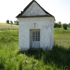
Chapel of Saint Liborius
808 m
Hruška u Roudenské cesty
496 m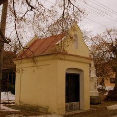
Chapel of Virgin Mary
1.7 km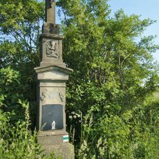
Kříž severně od Jesence u polní cesty
999 m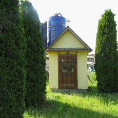
Kaplička na okraji Ponikve u družstva
1 km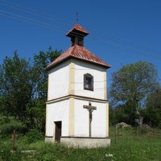
Bell tower in Ladín
1.5 km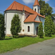
Chapel of the Virgin Mary of the Rosary
1 km
Wayside cross
997 m
Jindřich Bombera
1.5 km
Wayside shrine
1.4 km
Bell tower, tower
1.4 km
Wayside cross
1.1 km
Wayside cross
1.5 km
Wayside cross
918 m
Catholic church building, place of worship, Christianity, house of prayer
1.5 km
Memorial, war memorial
1.5 km
Scenic viewpoint
1.3 km
Wayside cross
901 m
Wayside cross
564 m
Wayside cross
1.7 km
Memorial
63 m
Wayside cross
1.7 km
Wayside cross
1.8 kmReviews
Visited this place? Tap the stars to rate it and share your experience / photos with the community! Try now! You can cancel it anytime.
Discover hidden gems everywhere you go!
From secret cafés to breathtaking viewpoints, skip the crowded tourist spots and find places that match your style. Our app makes it easy with voice search, smart filtering, route optimization, and insider tips from travelers worldwide. Download now for the complete mobile experience.

A unique approach to discovering new places❞
— Le Figaro
All the places worth exploring❞
— France Info
A tailor-made excursion in just a few clicks❞
— 20 Minutes