Lípa republiky 1918-2018
Location: Člunek
Operator: Obec Člunek
GPS coordinates: 49.10893,15.13466
Latest update: November 18, 2025 21:32

Vosecký rybník
2.9 km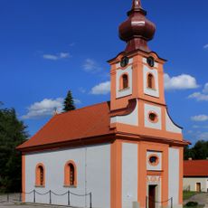
Chapel of Saint Florian
1.8 km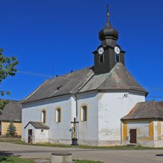
Church of Saint John of Nepomuk
660 m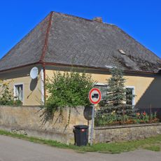
Fara
681 m
Ústřední kříž
737 m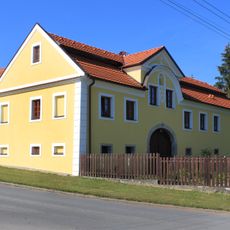
Usedlost čp. 42
466 m
Vosecký rybník
2.9 km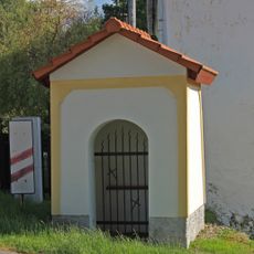
Výklenková kaplička v Lomech
2.1 km
Usedlost čp. 61
439 m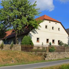
Usedlost čp. 33
2.5 km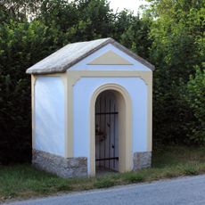
Výklenková kaplička v Kunějově
2.4 km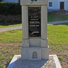
World War I memorial in Kunějov
2.8 km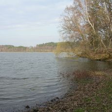
Krvavý a Kačležský rybník
2.1 km
War memorial, memorial
2.8 km
Wayside shrine, Christianity
2.1 km
Catholic church building, wayside cross, Christianity
1.8 km
Memorial, war memorial
1.8 km
Sv. Jan Nepomucký
2.5 km
Wayside shrine, Christianity
2.4 km
Wayside cross, Christianity
1.6 km
Memorial
1.8 km
Wayside cross, Christianity
2.8 km
Wayside cross, Christianity
1.8 km
Wayside shrine, Christianity
899 m
Christianity, wayside shrine
854 m
Wayside shrine, Christianity
931 m
Memorial
562 m
Wayside cross, Christianity
2 kmVisited this place? Tap the stars to rate it and share your experience / photos with the community! Try now! You can cancel it anytime.
Discover hidden gems everywhere you go!
From secret cafés to breathtaking viewpoints, skip the crowded tourist spots and find places that match your style. Our app makes it easy with voice search, smart filtering, route optimization, and insider tips from travelers worldwide. Download now for the complete mobile experience.

A unique approach to discovering new places❞
— Le Figaro
All the places worth exploring❞
— France Info
A tailor-made excursion in just a few clicks❞
— 20 Minutes