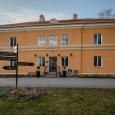
Hämeenkylän Pääkartano
Location: Myyrmäen suuralue
Location: Vantaa
Address: 6 Tavastkullanmäki
GPS coordinates: 60.27040,24.78410
Latest update: December 1, 2025 08:48
Hämeenkylä Manor
42 m
Linnainen manor
1.1 km
Myyrmäki-hall
3.3 km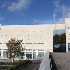
Hämeenkylä church
912 m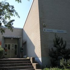
Laaksolahti Library
2.9 km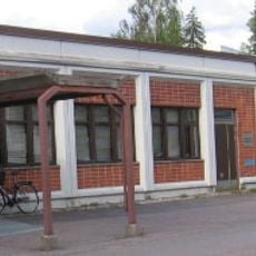
Pähkinärinne Library
1.9 km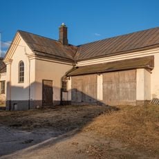
Hämeenkylän kartanon asuinrakennus
244 m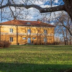
Side manor
85 m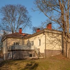
Pehtoorin talo
114 m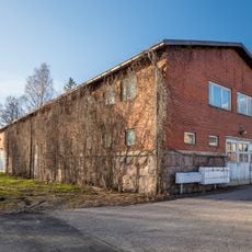
Tavastkulla pigsty
208 m
Vapaalanpolku 11
2.7 km
Old manor
50 m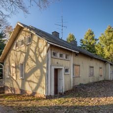
Vanhankyläntie 12 -pienkerrostalo
124 m
Laaksolahden uimaranta
3.3 km
Mural, Work of art
3.2 km
Jupperinranta
1.8 km
Vantaan ranta
1.9 km
Graffiti: Viherpolku - Martinlaaksontien alittava tunneli
3.3 km
Graffiti: Virtapuisto - Raappavuorentien alittava tunneli
3.3 km
Tytöt hyppäävät vistiä
1.5 km
Espoo Ringside Golf
2.4 km
Scenic viewpoint
3.2 km
Scenic viewpoint
3.3 km
Scenic viewpoint
2.7 km
Kolmen Kaupungin Risteys
3.2 km
Kaivos
1.4 km
Konstantin Pätsin muistomerkki
502 m
Muualle haudattujen ja Karjalaan jääneiden vainajien muistolle
898 mVisited this place? Tap the stars to rate it and share your experience / photos with the community! Try now! You can cancel it anytime.
Discover hidden gems everywhere you go!
From secret cafés to breathtaking viewpoints, skip the crowded tourist spots and find places that match your style. Our app makes it easy with voice search, smart filtering, route optimization, and insider tips from travelers worldwide. Download now for the complete mobile experience.

A unique approach to discovering new places❞
— Le Figaro
All the places worth exploring❞
— France Info
A tailor-made excursion in just a few clicks❞
— 20 Minutes