Guewenheim
Location: Guewenheim
Operator: TTDA
GPS coordinates: 47.74867,7.09155
Latest update: November 19, 2025 06:35
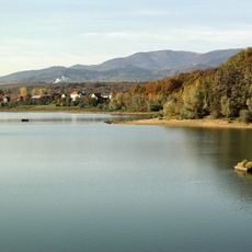
Lac de Michelbach
2.6 km
Réserve naturelle régionale du plan d'eau de Michelbach
2.6 km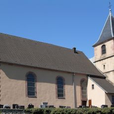
Église Sainte-Marguerite de Soppe-le-Haut
3 km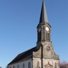
Église Saint-Georges de Sentheim
3 km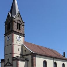
Église Saint-Maurice de Guewenheim
257 m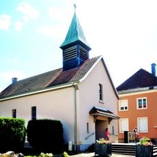
Église Sainte-Agathe de Michelbach
2.4 km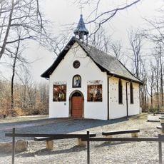
Chapelle Notre-Dame-des-Bouleaux
996 m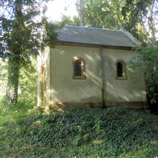
Chapelle de la maison de retraite Saint-Jean-de-Dieu de Sentheim
2.6 km
Bird hide, scenic viewpoint
2.7 km
Scenic viewpoint
2.9 km
Scenic viewpoint
3 km
Memorial
252 m
Station 13
2.9 km
Wayside cross
2.9 km
Sentheim
2.6 km
Wayside cross
456 m
Wayside cross
2.3 km
Stèle du Sous-Lieutenant Paillard 1916
1.3 km
Vierge du Rollenberg
2.9 km
Station 14
2.9 km
Gare de Sentheim
2.6 km
Station 12
3 km
Wayside cross
973 m
Wayside cross
2.8 km
Memorial, war memorial
1.3 km
Wayside cross
2.8 km
Denkmal Bartholomäus Gross
3 km
Wayside shrine, Christianity
1.3 kmReviews
Visited this place? Tap the stars to rate it and share your experience / photos with the community! Try now! You can cancel it anytime.
Discover hidden gems everywhere you go!
From secret cafés to breathtaking viewpoints, skip the crowded tourist spots and find places that match your style. Our app makes it easy with voice search, smart filtering, route optimization, and insider tips from travelers worldwide. Download now for the complete mobile experience.

A unique approach to discovering new places❞
— Le Figaro
All the places worth exploring❞
— France Info
A tailor-made excursion in just a few clicks❞
— 20 Minutes