Clos de la Rosette
Location: Saint-Cyr-au-Mont-d'Or
GPS coordinates: 45.83353,4.80723
Latest update: November 12, 2025 20:36
Mont Thou
1.2 km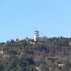
Mont Cindre
1.4 km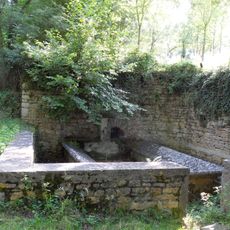
Monts d'Or Aqueduct
562 m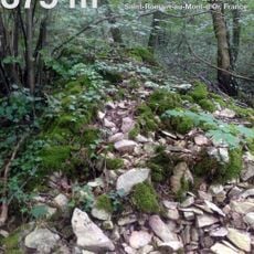
Batterie de la Freta
1.4 km
Saint-Fortunat chapel
1.3 km
Église Saint-Romain de Saint-Romain-au-Mont-d'Or
1.3 km
Manoir de la Bessée
1.2 km
Réservoirs d'aqueduc du Vallon d'Arche
562 m
Table d'orientation du Mont Thou
1.2 km
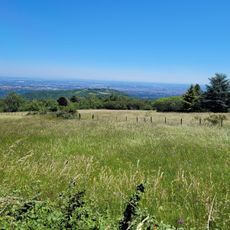
Scenic viewpoint
714 m
Caborne Gantillon
1.4 km
Caborne des Fichornes
1.4 km
Caborne
840 m
Caborne Enfouie
1.2 km
Lavoir
457 m
Caborne du Chirat
1.4 km
Caborne de la Pierre Percée
1.4 km
Caborne des Chèvres
1.5 km
Caborne des Planques
1.4 km
Caborne
1 km
Caborne du Sarto
1.4 km
Cabane Pointue
1.1 km
Vierge de la Jardinière
1.1 km
Croix du Tignot
1.3 km
Wayside cross
1.2 km
Christianity, Catholic church building, wayside cross
1.3 km
Temple protestant
1.5 km
Wayside cross, Christianity
950 mReviews
Visited this place? Tap the stars to rate it and share your experience / photos with the community! Try now! You can cancel it anytime.
Discover hidden gems everywhere you go!
From secret cafés to breathtaking viewpoints, skip the crowded tourist spots and find places that match your style. Our app makes it easy with voice search, smart filtering, route optimization, and insider tips from travelers worldwide. Download now for the complete mobile experience.

A unique approach to discovering new places❞
— Le Figaro
All the places worth exploring❞
— France Info
A tailor-made excursion in just a few clicks❞
— 20 Minutes