Cadole
Location: Corcelles-les-Monts
GPS coordinates: 47.31021,4.94313
Latest update: October 11, 2024 03:07
Mont Afrique
2.2 km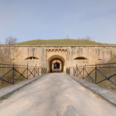
Fort de la Motte-Giron
3.3 km
Combe-aux-Loups
1.2 km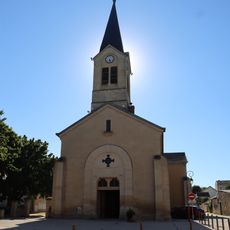
Église Saint-Blaise de Velars-sur-Ouche
2.9 km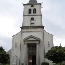
Église Saint-Pierre de Corcelles-les-Monts
1.6 km
Réduit du Mont Afrique
2.8 km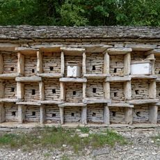
Rucher de la Combe à la Serpent
1.2 km
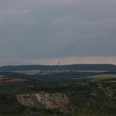
Vue sur la plaine de Saône
2.2 km
Scenic viewpoint
2.1 km
Scenic viewpoint
3.2 km
Scenic viewpoint
3.1 km
Réduit du Mont-Afrique
2.8 km
Cadole
928 m
Rocher du Crucifix
1.4 km
Rucher de la Combe à la Serpent
1.2 km
Wayside cross
2.4 km
Catholic church building, wayside cross, Christianity
2.7 km
Monument aux morts de Velars-sur-Ouche
2.8 km
Cadole
1.6 km
Memorial des Aviateurs
988 m
Catholic church building, wayside cross, Christianity
2 km
Scenic viewpoint
3.1 km
Cadole
1.7 km
Wayside shrine, Christianity, Catholic church building
3.1 km
Le Diable et le Chat bleu
3.1 km
Cadole
1.5 km
Croix des Minimes
3.2 km
Couvent des Minimes
3.2 kmReviews
Visited this place? Tap the stars to rate it and share your experience / photos with the community! Try now! You can cancel it anytime.
Discover hidden gems everywhere you go!
From secret cafés to breathtaking viewpoints, skip the crowded tourist spots and find places that match your style. Our app makes it easy with voice search, smart filtering, route optimization, and insider tips from travelers worldwide. Download now for the complete mobile experience.

A unique approach to discovering new places❞
— Le Figaro
All the places worth exploring❞
— France Info
A tailor-made excursion in just a few clicks❞
— 20 Minutes