Jetée Feu Vert - Ile Tatihou
Location: Saint-Vaast-la-Hougue
Website: https://lamanche.tickeasy.com/
Website: https://lamanche.tickeasy.com
GPS coordinates: 49.58689,-1.26182
Latest update: November 20, 2025 00:10
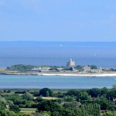
Tatihou
1.4 km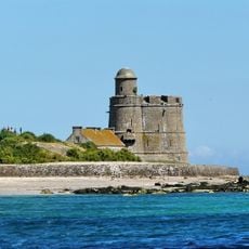
Fort de La Hougue
1.8 km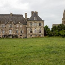
Château de Réville
3.5 km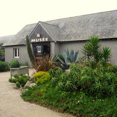
Tatihou Maritime Museum
1.1 km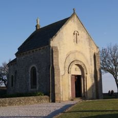
La Chapelle des Marins à Saint-Vaast-la-Hougue
240 m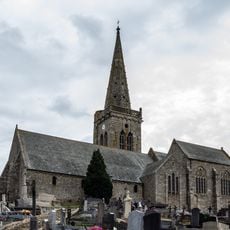
Église Saint-Martin de Réville
3.6 km
Église Saint-Vigor de Quettehou
3.5 km
Manoir d'Escarboville
3.6 km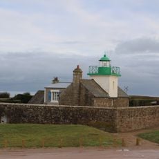
Redoute de Réville
3.2 km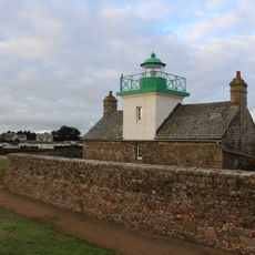
Phare de la Pointe de Saire
3.2 km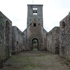
Ruines de l'église Saint-Martin de Rideauville
2.7 km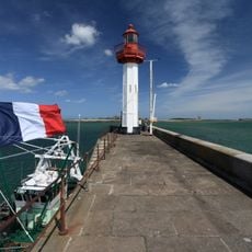
Phare de Saint-Vaast-la-Hougue
362 m
Orgue de tribune de l'église Saint-Martin de Réville
3.6 km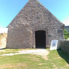
Chapelle Saint-Clément de Tatihou
1.5 km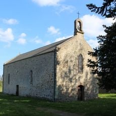
Chapelle Notre-Dame-de-Grâce du Pont Rasé Isamberville
3.1 km
Scenic viewpoint
363 m
Scenic viewpoint
1.6 km
Mémorial General Leclerc
220 m
Work of art
1.5 km
A la memoire des Marins perins
1.1 km
Tomb
236 m
Tomb
233 m
Tomb
232 m
Tomb
228 m
Tomb
228 m
Bench, memorial
244 m
Memorial, commemorative plaque
342 m
Manoir de Cabourg
3.2 kmReviews
Visited this place? Tap the stars to rate it and share your experience / photos with the community! Try now! You can cancel it anytime.
Discover hidden gems everywhere you go!
From secret cafés to breathtaking viewpoints, skip the crowded tourist spots and find places that match your style. Our app makes it easy with voice search, smart filtering, route optimization, and insider tips from travelers worldwide. Download now for the complete mobile experience.

A unique approach to discovering new places❞
— Le Figaro
All the places worth exploring❞
— France Info
A tailor-made excursion in just a few clicks❞
— 20 Minutes