Table d'orientation
Location: Arromanches-les-Bains
GPS coordinates: 49.33928,-0.61547
Latest update: April 7, 2025 02:43
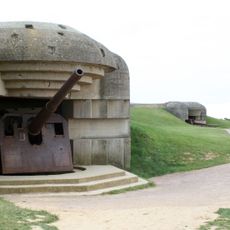
Longues-sur-Mer Battery
5.7 km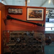
D-Day Museum
362 m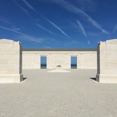
British Normandy Memorial
5.6 km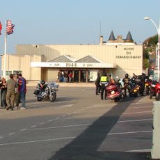
D-Day Museum
380 m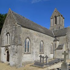
Église Saint-Malo de Magny-en-Bessin
5.3 km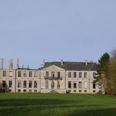
Château de Magny-en-Bessin
5.1 km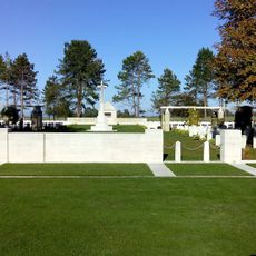
Ryes War Cemetery
4.5 km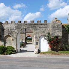
Ferme de la Rançonnière
5.8 km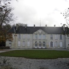
Château de la Noë
2.7 km
Borne milliaire du Manoir
5.9 km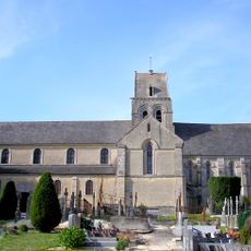
Église Saint-Martin de Ryes
2.7 km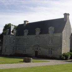
Grande Ferme
5.6 km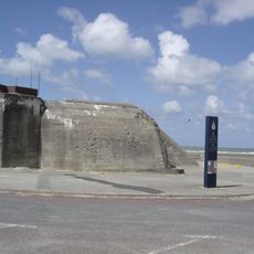
Batterie de défense d'Asnelles
2.3 km
Église Saint-Médard-et-Saint-Gildard de Crépon
5.4 km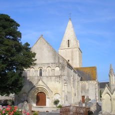
Église Saint-Manvieu de Meuvaines
3.9 km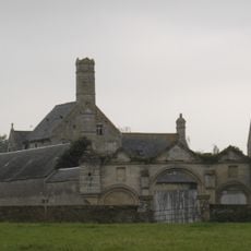
Manoir du Pavillon
3 km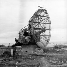
Station radar d'Arromanches-les-Bains
74 m
Clos Mondeville
5.7 km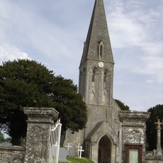
Église Saint-Martin de Bazenville
4.9 km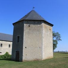
Colombier de la Ferme du Mesnil
5.1 km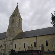
Église Saint-Rémi de Manvieux
2.9 km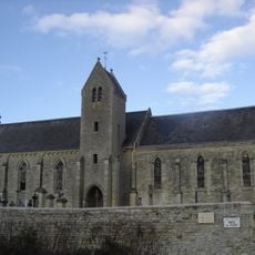
Église Saint-Martin
2.1 km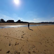
Gold Beach (lapyahan)
6 km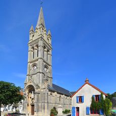
Eglise Saint-Pierre d'Arromanches
517 m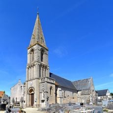
Église Saint-Martin d'Asnelles
2.4 km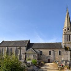
Église Saint-Pierre-et-Sainte-Geneviève de Sommervieu
5.6 km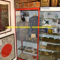
Liberators Museum - Normandy 1944
482 m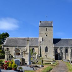
Église Saint-Côme-de-Fresné
778 mReviews
Visited this place? Tap the stars to rate it and share your experience / photos with the community! Try now! You can cancel it anytime.
Discover hidden gems everywhere you go!
From secret cafés to breathtaking viewpoints, skip the crowded tourist spots and find places that match your style. Our app makes it easy with voice search, smart filtering, route optimization, and insider tips from travelers worldwide. Download now for the complete mobile experience.

A unique approach to discovering new places❞
— Le Figaro
All the places worth exploring❞
— France Info
A tailor-made excursion in just a few clicks❞
— 20 Minutes