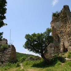
Ბილიკის დასაწყისი გამოქვაბულ- მონასტრამდე
Location: საგარეჯოს მუნიციპალიტეტი
GPS coordinates: 41.77715,45.14830
Latest update: November 16, 2025 12:21
Ujarma Fortress
3.8 km
Borkilijvari Church of Saint George, Martkopi
11.5 km
Წმ. გიორგის ეკლესია
8.3 km
Კვირაცხოვლის ეკლესია
9.3 km
Წმ. შიოს დიდი ეკლესია
8.3 km
Წმ. შიოს მცირე ეკლესია
8.3 km
Ღვთისმშობლის ეკლესია
7.7 km
Წმ. გიორგის ეკლესია
8.9 km
Ღვთისმშობლის სამეკლესიანი ბაზილიკა
8.8 km
Კვირაცხოვლის ეკლესია
2.1 km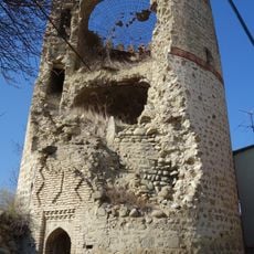
Თუშმალიშვილების კოშკი
10.4 km
Შინჯიკაშვილების კოშკი
10.2 km
Წმ. გიორგის ეკლესია
11 km
Ღვთისმშობლის ეკლესია
9.2 km
Გადასახვევი ბილიკზე გამოქვაბულ-მონასტერზე
6 m
Ujarma Fortress
3.8 km
Work of art, sculpture
9 km
Statue, Work of art
10.6 km
Statue, Work of art
9 km
Scenic viewpoint
3.9 km
Scenic viewpoint
12 km
Scenic viewpoint
3.9 km
Მეორე მსოფლიო ომში დაღუპულთა მემორიალი
11 km
Ვერონას ციხე
12.1 km
Ruins
4.1 km
Ruins
4.1 km
Wayside shrine
12.6 km
Wayside cross
7.6 kmReviews
Visited this place? Tap the stars to rate it and share your experience / photos with the community! Try now! You can cancel it anytime.
Discover hidden gems everywhere you go!
From secret cafés to breathtaking viewpoints, skip the crowded tourist spots and find places that match your style. Our app makes it easy with voice search, smart filtering, route optimization, and insider tips from travelers worldwide. Download now for the complete mobile experience.

A unique approach to discovering new places❞
— Le Figaro
All the places worth exploring❞
— France Info
A tailor-made excursion in just a few clicks❞
— 20 Minutes