Kornfeld
Location: Offdilln
Location: Haiger
GPS coordinates: 50.82774,8.21868
Latest update: November 23, 2025 23:44
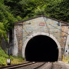
Rudersdorfer Tunnel
2.7 km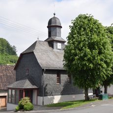
Evangelische Kirche Dillbrecht
2.3 km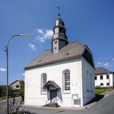
Evangelische Kirche
798 m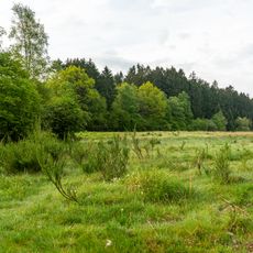
Gernsdorfer Weidekämpe
2.5 km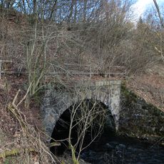
Bachdurchlass
2.8 km
Laufbrunnen
891 m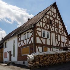
Zur Kirche 4+6/Siegenweg 1
795 m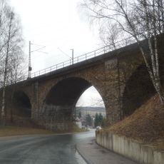
Eisenbahnbrücke
2.8 km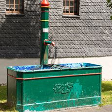
Laufbrunnen
2.3 km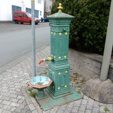
Laufbrunnen
854 m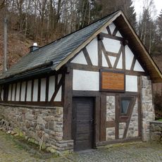
Backhaus
939 m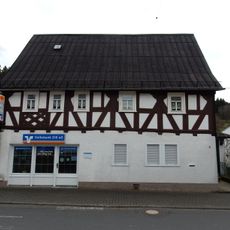
Offdillner Straße 4
859 m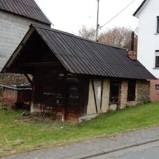
Schmiede
827 m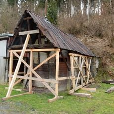
Schmiede
949 m
Offdillner Straße 6
865 m
Gernsdorfer Weidekämpe
2.3 km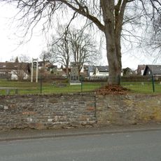
Kriegerdenkmal und Stützmauer
641 m
Dillquellgebiet bei Offdilln
1.6 km
Keltenhaus
99 m
Rennofen
111 m
Sachgesamtheit Eisenbahn
2.7 km
Töpfern
53 m
Kohlenmeiler
165 m
Scenic viewpoint
2.8 km
Wilder Stein
2.5 km
Bench, scenic viewpoint
2.3 km
Memorial, war memorial
2.5 km
Memorial, war memorial
643 mReviews
Visited this place? Tap the stars to rate it and share your experience / photos with the community! Try now! You can cancel it anytime.
Discover hidden gems everywhere you go!
From secret cafés to breathtaking viewpoints, skip the crowded tourist spots and find places that match your style. Our app makes it easy with voice search, smart filtering, route optimization, and insider tips from travelers worldwide. Download now for the complete mobile experience.

A unique approach to discovering new places❞
— Le Figaro
All the places worth exploring❞
— France Info
A tailor-made excursion in just a few clicks❞
— 20 Minutes