Vulkan Rossbuesch
Location: Kalenborn-Scheuern
GPS coordinates: 50.26824,6.61823
Latest update: October 11, 2024 03:47
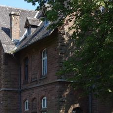
Alter Bahnhof Hillesheim
2.2 km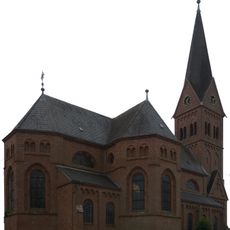
Heiligstes Herz Jesu
2 km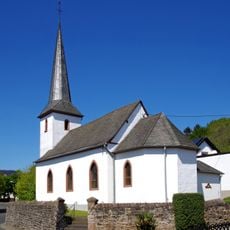
St. Margareta (Bolsdorf)
2.9 km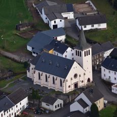
St. Antonius Abt
1.7 km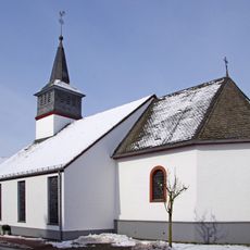
St. Nikolaus
2.1 km
Rother Kopf
2.6 km
Die Buedden bei Oberbettingen
1.9 km
Scenic viewpoint
2.5 km
Naturdenkmal Beilstein
2.7 km
Wegkreuz
2.1 km
Orgelbau Fasen
2 km
Wayside cross
2.3 km
Mühlsteine
2.3 km
Scenic viewpoint
1.7 km
Wayside cross
2.5 km
Wayside cross
1.1 km
Rundblick „Rother Kopf“ am Eifelsteig
2.6 km
Christianity, house of prayer, place of worship, wayside cross
2.7 km
Mariensäule
2 km
Wayside cross
2.8 km
Müllenborner Keltengrab
2.8 km
Catholic church building, wayside cross, Christianity
2.8 km
Scenic viewpoint
1.1 km
Catholic church building, wayside cross, Christianity
2.9 km
Christianity, Catholic church building, wayside shrine
2.9 km
Catholic church building, wayside shrine, Christianity
2.9 km
Römischer Spieletisch
2.9 km
Replik eines Greifenkopfes (Relikt röm. Grabstätte)
2.9 kmReviews
Visited this place? Tap the stars to rate it and share your experience / photos with the community! Try now! You can cancel it anytime.
Discover hidden gems everywhere you go!
From secret cafés to breathtaking viewpoints, skip the crowded tourist spots and find places that match your style. Our app makes it easy with voice search, smart filtering, route optimization, and insider tips from travelers worldwide. Download now for the complete mobile experience.

A unique approach to discovering new places❞
— Le Figaro
All the places worth exploring❞
— France Info
A tailor-made excursion in just a few clicks❞
— 20 Minutes