Königlich Preußische Höhenmarkierung
Location: Bezirk Mitte
Location: Saarbrücken
GPS coordinates: 49.23266,6.98619
Latest update: November 20, 2025 03:20

Ludwigskirche
82 m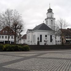
Friedenskirche (Saarbrücken)
160 m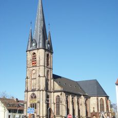
St. Jakob
180 m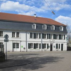
Gasthaus Adler
266 m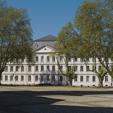
Comeniushaus
73 m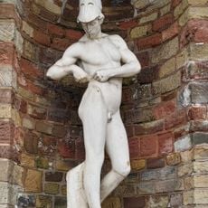
Telemachos-Figur
178 m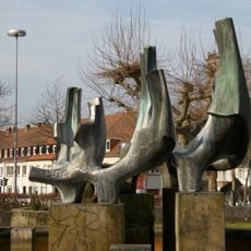
Fountain at Nanteser Platz
206 m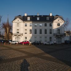
Palais Lüder
39 m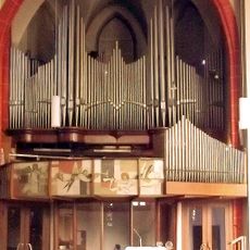
Späth-Orgel in St. Jakob
192 m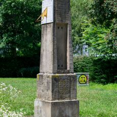
Meteorological column Saarbrücken
137 m
Haus der Gebrüder König
50 m
Memorial, commemorative plaque
151 m
War memorial, memorial
104 m
Haus der Lutherischen Gemeinde
38 m
Sparte4
181 m
Haus Wentzel
66 m
Haus des Ev. Stiftes St. Arnual
90 m
Commemorative plaque, memorial
215 m
Hospital, Armen-, Zucht- und Waisenhaus
66 m
Mapped 66117
183 m
Gasthaus Zum Adler
258 m
Haus der reformierten Gemeinde
88 m
Palais Madame de Freytal
64 m
Palais Baron von Lüder
34 m
Palais Baron von Doeben
47 m
Palais Dr. Franz Josef Röder
83 m
Commemorative plaque, memorial
155 m
Memorial, commemorative plaque
111 mReviews
Visited this place? Tap the stars to rate it and share your experience / photos with the community! Try now! You can cancel it anytime.
Discover hidden gems everywhere you go!
From secret cafés to breathtaking viewpoints, skip the crowded tourist spots and find places that match your style. Our app makes it easy with voice search, smart filtering, route optimization, and insider tips from travelers worldwide. Download now for the complete mobile experience.

A unique approach to discovering new places❞
— Le Figaro
All the places worth exploring❞
— France Info
A tailor-made excursion in just a few clicks❞
— 20 Minutes