Chiemgauer Hochseilgarten
Location: Aschau im Chiemgau
GPS coordinates: 47.78265,12.33352
Latest update: November 22, 2025 19:49
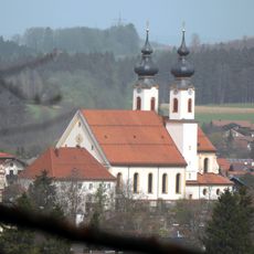
Mariä Lichtmeß (Aschau i. Chiemgau)
882 m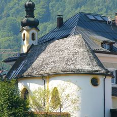
Kreuzkapelle
860 m
Cultural heritage D-1-8239-0016 in Aschau im Chiemgau
880 m
Cultural heritage D-1-8239-0020 in Aschau im Chiemgau
884 m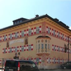
Poststadel
934 m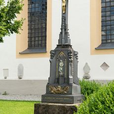
War memorial
893 m
Ensemble
363 m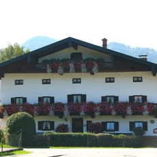
Ehemaliges Bauernhaus
408 m
Ehemaliges Bauernhaus
916 m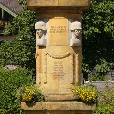
Kriegerdenkmal
881 m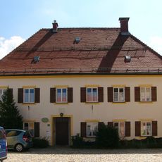
Kirchplatz 2
915 m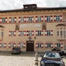
Kirchplatz 1
936 m
Austragshaus Nähe Bernauer Straße in Aschau im Chiemgau
387 m
Ölbergkapelle Kirchplatz 3 in Aschau im Chiemgau
903 m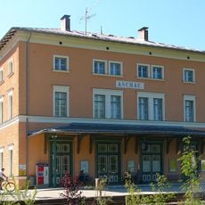
Bahnhof Aschau
729 m
Ensemble
931 m
Work of art, sculpture
809 m
Esel
978 m
Scenic viewpoint
735 m
Wayside cross
618 m
Wayside cross
978 m
Hans Clarin
739 m
Theodor v. Cramer-Klett
731 m
Kriegerdenkmal
873 m
Wayside shrine
923 m
Wayside shrine
866 m
I
835 m
Waterfall
518 mReviews
Visited this place? Tap the stars to rate it and share your experience / photos with the community! Try now! You can cancel it anytime.
Discover hidden gems everywhere you go!
From secret cafés to breathtaking viewpoints, skip the crowded tourist spots and find places that match your style. Our app makes it easy with voice search, smart filtering, route optimization, and insider tips from travelers worldwide. Download now for the complete mobile experience.

A unique approach to discovering new places❞
— Le Figaro
All the places worth exploring❞
— France Info
A tailor-made excursion in just a few clicks❞
— 20 Minutes