Manhole
Location: Bracknell Forest
GPS coordinates: 51.37062,-0.72873
Latest update: November 20, 2025 23:27
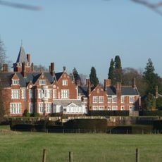
Bagshot Park Mansion
2.3 km
Caesar's Camp, Bracknell Forest
2.6 km
Jolly Farmer
2.7 km
Broadmoor to Bagshot Woods and Heaths
897 m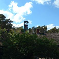
The Look Out Discovery Centre Play Area
2 km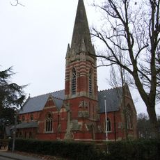
Church of St Anne
2.3 km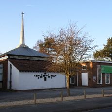
St Martin's Church
2.5 km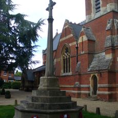
Bagshot War Memorial, Surrey
2.4 km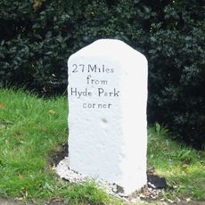
Milestone, Bagshot Heath, No. 210 London Road
2.6 km
Five Napoleonic practice redoubts in both Crowthorne Woods and Bramshill Forest
2 km
Two sections of Roman road in Bramshill Forest between Roman Star Post and Rapley Lake
495 m
Caesar's Camp hillfort and the remains of a Napoleonic redoubt
2.6 km
65 High Street
2.7 km
25-31, High Street
2.7 km
Exploded Napoleonic practice redoubt on Butter Hill
2.7 km
Bagshot Park
2 km
Windmill Stem mound in Bramshill Forest
1.9 km
Wickham Bushes Romano-British settlement
2.1 km
Berkshire Golf Club
2 km
Lower Star Post
1.1 km
Car Crash Common
1.2 km
The Wall
825 m
Pip's Seat
2.2 km
Go Ape!
2 km
Not The Wall
560 m
Soggy Bottom
1.5 km
Wishmoor Cross
782 m
The Look Out
2 kmReviews
Visited this place? Tap the stars to rate it and share your experience / photos with the community! Try now! You can cancel it anytime.
Discover hidden gems everywhere you go!
From secret cafés to breathtaking viewpoints, skip the crowded tourist spots and find places that match your style. Our app makes it easy with voice search, smart filtering, route optimization, and insider tips from travelers worldwide. Download now for the complete mobile experience.

A unique approach to discovering new places❞
— Le Figaro
All the places worth exploring❞
— France Info
A tailor-made excursion in just a few clicks❞
— 20 Minutes