Rauðamelsölkelda
Location: Eyja- og Miklaholtshreppur
GPS coordinates: 64.89558,-22.33880
Latest update: November 22, 2025 05:23
Helgafell
24.6 km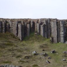
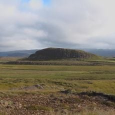
Gerðuberg
4 km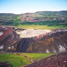
Ljósufjöll
5.9 km
Helgafellssveit
24.3 km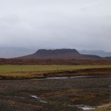
Eldborg
11.1 km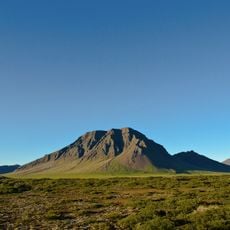
Fagraskógarfjall
15.2 km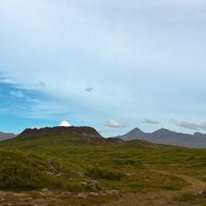
Eldborgarhraun (lavafält i Island, Västlandet)
10.1 km
Skógarströnd
12.2 km
Shipwreck viewpoint
19.6 km
Scenic viewpoint
7.5 km
Scenic viewpoint
18.2 km
Scenic viewpoint
18.5 km
Scenic viewpoint
39 m
Canyon Skrauma
24.7 km
Gerduberg cliffs
5.5 km
Scenic viewpoint
24.3 km
Scenic viewpoint
5.8 km
Scenic viewpoint
24.6 km
Scenic viewpoint
15.5 km
Scenic viewpoint
15.5 km
Rjúkandafoss
1 km
Lambhagafoss
16.6 km
Veiðifoss
22.3 km
Waterfall
134 m
Bakkárfoss
13.9 km
Rjúkandi
21.6 km
Waterfall
24.5 km
Nátthagafoss
17.8 kmReviews
Visited this place? Tap the stars to rate it and share your experience / photos with the community! Try now! You can cancel it anytime.
Discover hidden gems everywhere you go!
From secret cafés to breathtaking viewpoints, skip the crowded tourist spots and find places that match your style. Our app makes it easy with voice search, smart filtering, route optimization, and insider tips from travelers worldwide. Download now for the complete mobile experience.

A unique approach to discovering new places❞
— Le Figaro
All the places worth exploring❞
— France Info
A tailor-made excursion in just a few clicks❞
— 20 Minutes