
The Barn
Location: Monaghan Rural ED
Location: Monaghan Municipal District
GPS coordinates: 54.22978,-6.99174
Latest update: June 17, 2025 18:18
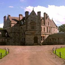
Castle Leslie
12.1 km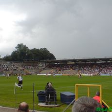
St Tiernach's Park
16.4 km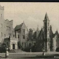
Rossmore Castle
624 m
Caledon House
15 km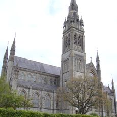
St Macartan's Cathedral, Monaghan
2.7 km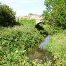
Tehallan
7.3 km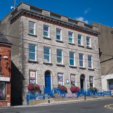
Monaghan County Museum
2.4 km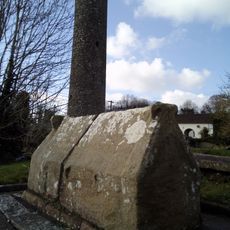
Clones Abbey
16.6 km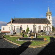
Tullycorrbet
9.4 km
Market House, Monaghan
2.3 km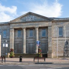
Monaghan Courthouse
2.4 km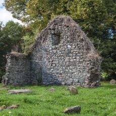
Church of the calves
12.7 km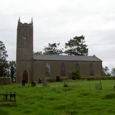
Drumsnat Church
4.9 km
Church of the plain of the two slopes
10.3 km
Dawson Monument
2.4 km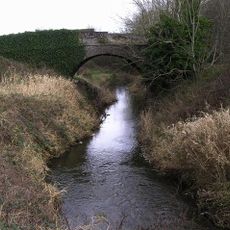
Crowey Bridge
6.4 km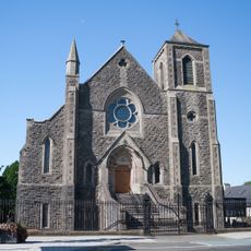
Monaghan First Presbyterian Church
2.5 km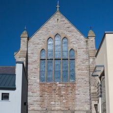
St Joseph's Church
2.2 km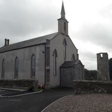
St Coleman's Church
10.3 km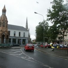
Rossmore Memorial
2.6 km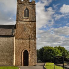
St Sillian's Church
7.1 km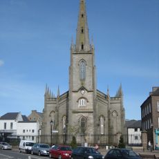
St Patrick's Church
2.5 km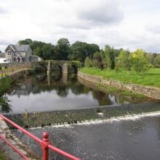
Bellanode Bridge
5 km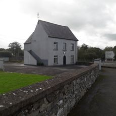
St Coleman's Church Hall
10.3 km
Bank of Ireland
2.5 km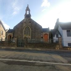
Monaghan Methodist Church
2.4 km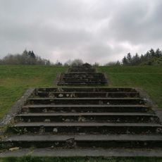
Rossmore Forest Park Steps
599 m
Johnston and Madden Memorial Orange Hall
2.5 kmReviews
Visited this place? Tap the stars to rate it and share your experience / photos with the community! Try now! You can cancel it anytime.
Discover hidden gems everywhere you go!
From secret cafés to breathtaking viewpoints, skip the crowded tourist spots and find places that match your style. Our app makes it easy with voice search, smart filtering, route optimization, and insider tips from travelers worldwide. Download now for the complete mobile experience.

A unique approach to discovering new places❞
— Le Figaro
All the places worth exploring❞
— France Info
A tailor-made excursion in just a few clicks❞
— 20 Minutes