Дот
Location: Шацька селищна громада
GPS coordinates: 51.41293,23.70952
Latest update: November 3, 2025 02:41
Shatsk National Natural Park
13.9 km
Żółwiowe Błota nature reserve
11.8 km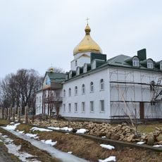
Svitiaz Monastery
13.1 km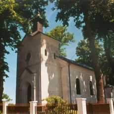
Church of the Dormition in Uhrusk
13.9 km
Rezerwat przyrody Jezioro Orchowe
11.7 km
Museum of the Former Extermination Camp in Sobibor
8.7 km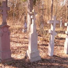
Cemetery in Sobibór
11.3 km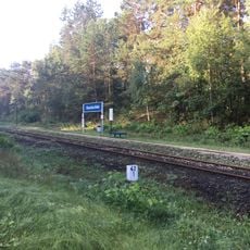
Okuninka Białe train stop
12 km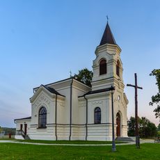
Saint Stanislaus Kostka church in Kosyń
9.8 km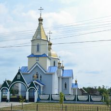
Saint Nicholas Church, Pulmo
11.7 km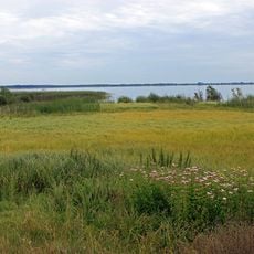
Пулемецький заказник
13 km
Kościół św. Jana Chrzciciela w Uhrusku
14.2 km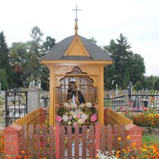
Saint John of Nepomuk wayside shrine in Uhrusk
14.5 km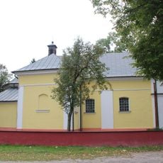
Zespół kościoła św.Jana Chrzciciela
14.2 km
Słup Trójstyku - Rzeczpospolita Polska
12.4 km
Rope park
9.5 km
Monument bij de ingang van het voormalige kamp Sobibor
8.7 km
Słup Trójstyku - Republika Białorusi
12.3 km
Дот
654 m
Дот
206 m
Dworzec PKP Uhrusk (niecz.)
12.1 km
Border tripoint on Bug River in Orchówek: Belarus-Poland-Ukraine
12.4 km
Tuba do słuchania przyrody
12.7 km
Work of art, sculpture
8.8 km
Tower, Observation tower, scenic viewpoint
11.7 km
Озеро з червоною водою
9.6 km
Затока Бужня
8.5 km
Памежнікам
13.9 kmReviews
Visited this place? Tap the stars to rate it and share your experience / photos with the community! Try now! You can cancel it anytime.
Discover hidden gems everywhere you go!
From secret cafés to breathtaking viewpoints, skip the crowded tourist spots and find places that match your style. Our app makes it easy with voice search, smart filtering, route optimization, and insider tips from travelers worldwide. Download now for the complete mobile experience.

A unique approach to discovering new places❞
— Le Figaro
All the places worth exploring❞
— France Info
A tailor-made excursion in just a few clicks❞
— 20 Minutes