Hrad Sitno
Location: Ilija
Location: okres Banská Štiavnica
GPS coordinates: 48.40161,18.88697
Latest update: October 26, 2025 12:20
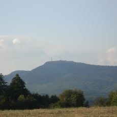
Sitno
741 m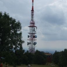
Vysílač Sitno
804 m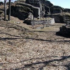
Sitno
12 m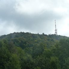
Sitno
578 m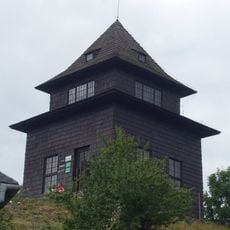
Turistická rozhľadňa
745 m
Severné skaly
673 m
Hrad Sitno
3 m
Work of art
2.2 km
Kanceľ
827 m
Scenic viewpoint
780 m
Jánošíkova posteľ
826 m
Západné skaly
877 m
Vlčí trh
2.1 km
Severné skaly
686 m
Jubilejný háj RČS 1918-1928, Tatárska lúka pod Sitnom
1.2 km
Sitno
740 m
Sitnianski rytieri
2 km
Pod kancľom
838 m
Južné skaly
821 m
Sitnience
765 m
Biely kameň
2.2 km
Biely kameň
2 km
Dlhé zeme
1.9 km
Tatárska lúka
1.2 km
Na Iliju
1.6 km
Z cesty na Sitno
210 m
Severné skaly
658 m
Južné skaly
867 mReviews
Visited this place? Tap the stars to rate it and share your experience / photos with the community! Try now! You can cancel it anytime.
Discover hidden gems everywhere you go!
From secret cafés to breathtaking viewpoints, skip the crowded tourist spots and find places that match your style. Our app makes it easy with voice search, smart filtering, route optimization, and insider tips from travelers worldwide. Download now for the complete mobile experience.

A unique approach to discovering new places❞
— Le Figaro
All the places worth exploring❞
— France Info
A tailor-made excursion in just a few clicks❞
— 20 Minutes