"Ciudad de Rock"
Location: Perales de Tajuña
GPS coordinates: 40.26088,-3.40262
Latest update: November 23, 2025 07:07
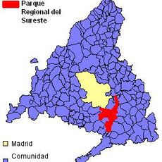
Parque Regional del Sureste
8.6 km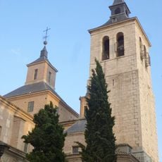
Church of San Juan Bautista
5.4 km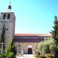
Iglesia Parroquial de Nuestra Señora de la Asunción
8.9 km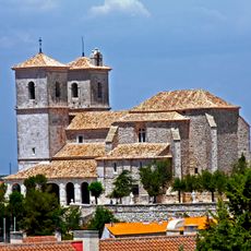
Iglesia de Santa María del Castillo, Campo Real
8.9 km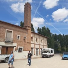
Museo de la Molinería
5.4 km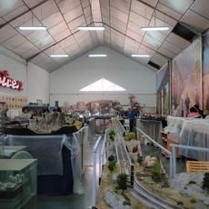
Museo del Tren de Arganda
9.2 km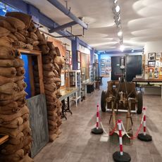
Museo de la Batalla del Jarama
4.9 km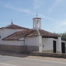
Ermita de la Virgen de Fátima
4.2 km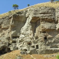
Cuevas prehistóricas, Perales de Tajuña
6.9 km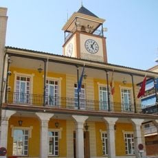
Town Hall of Morata de Tajuña
4.5 km
Castle of Perales de Tajuña
5.3 km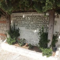
Monument of International Brigades in Morata de Tajuña
4.1 km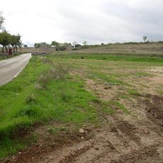
M-315
8.8 km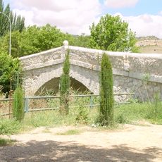
Puente Viejo, Tielmes
7.9 km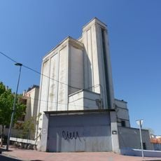
Silo of Arganda del Rey
4.8 km
Work of art, statue
3.8 km
Estatua a los Recortadores
5.3 km
Café Teatro Casablanca
5.3 km
Work of art
5.4 km
Work of art, sculpture
7.7 km
La evolución de la vida
6.4 km
Wayside cross
4.9 km
Wayside cross
4.5 km
Abogados de Atcoha
4.8 km
Monument
5.4 km
Trincheras
8.3 km
Monumento a la Batalla del Jarama
7.7 km
Trincheras
7.9 kmReviews
Visited this place? Tap the stars to rate it and share your experience / photos with the community! Try now! You can cancel it anytime.
Discover hidden gems everywhere you go!
From secret cafés to breathtaking viewpoints, skip the crowded tourist spots and find places that match your style. Our app makes it easy with voice search, smart filtering, route optimization, and insider tips from travelers worldwide. Download now for the complete mobile experience.

A unique approach to discovering new places❞
— Le Figaro
All the places worth exploring❞
— France Info
A tailor-made excursion in just a few clicks❞
— 20 Minutes