Air Crash Memorial
Location: Långareds distrikt
Location: Alingsås kommun
GPS coordinates: 58.00282,12.42638
Latest update: November 1, 2025 08:41
Gemeinde Ale
8.4 km
Anten
4.8 km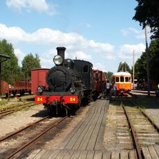
Anten–Gräfsnäs Railway
1.9 km
Östads säteri
5.5 km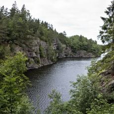
Brobacka
2.9 km
Verleskogens naturreservat
5.9 km
Holmevattnet, Ale Municipality
6.6 km
Bergsjön
7.9 km
Risvedens vildmark
6.5 km
Kvarnsjön
7.9 km
Hålanda 174:1
4.7 km
Långared 34:1
6.4 km
Hålanda 26:1
4.7 km
Skepplanda 93:1
6.4 km
Starrkärr 195:1
3.7 km
Långared 26:1
5.6 km
Långared 28:1
5 km
Långared 35:1
6.9 km
Långared 257:1
7.1 km
Långared 257:2
7.1 km
Alingsås 60:1
8 km
Skepplanda 89:1
7.6 km
Skepplanda 88:1
7.6 km
Scenic viewpoint
3 km
Scenic viewpoint
2.9 km
Göpås
8 km
Scenic viewpoint
5.2 km
Scenic viewpoint
5.2 kmReviews
Visited this place? Tap the stars to rate it and share your experience / photos with the community! Try now! You can cancel it anytime.
Discover hidden gems everywhere you go!
From secret cafés to breathtaking viewpoints, skip the crowded tourist spots and find places that match your style. Our app makes it easy with voice search, smart filtering, route optimization, and insider tips from travelers worldwide. Download now for the complete mobile experience.

A unique approach to discovering new places❞
— Le Figaro
All the places worth exploring❞
— France Info
A tailor-made excursion in just a few clicks❞
— 20 Minutes