Старовинний водяний млин
Location: Попільнянська селищна громада
GPS coordinates: 49.86085,29.45948
Latest update: October 27, 2025 06:09
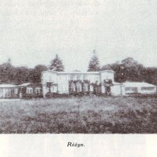
Ruzhyn
23 km
Estate of Ganski
12.3 km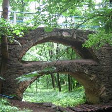
Verhivnya Park
11.5 km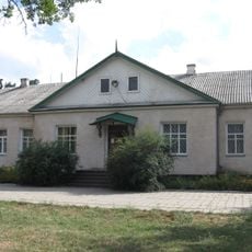
Musée-manoir Rylskyi à Romanivka
19.4 km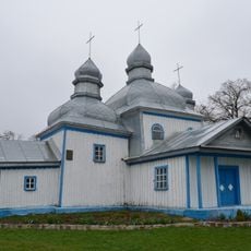
Church of the Intercession in Kozhanka
24.3 km
Zamek w Bukach
13.9 km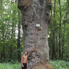
Old oak botanical natural monument
26.5 km
Synagoga w Skwirze
20.8 km
Isidore of Seville church, Bezpechna
21.1 km
Saint John of Nepomuk church, Skvyra
20.9 km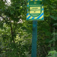
Popilnianskii lis
14.4 km
Liriodendron tulipifera, Skvyra
21.3 km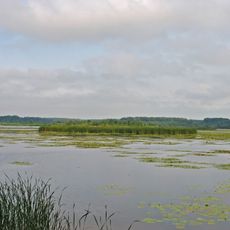
Dulitske
26.2 km
Kozhanska Balka Reserve
26.5 km
Sushchanski stavky hydrological sanctuary
26 km
Uiutne Reserve
27 km
Ginkgo biloba, Skvyra
21.4 km
Мусієвка
8.6 km
Гребля малої ГЕС
8.8 km
Водяний млин
13 km
Ландшафтно-храмовий комплекс "Буки"
14.5 km
Залишки маєтку Сцибор-Рильських
20.4 km
Палац Корницьких
26.1 km
Руїни костелу св. Трійці
26 km
Млин
26.2 km
Жаба
14.5 km
Scenic viewpoint
15 km
Scenic viewpoint
14.8 kmVisited this place? Tap the stars to rate it and share your experience / photos with the community! Try now! You can cancel it anytime.
Discover hidden gems everywhere you go!
From secret cafés to breathtaking viewpoints, skip the crowded tourist spots and find places that match your style. Our app makes it easy with voice search, smart filtering, route optimization, and insider tips from travelers worldwide. Download now for the complete mobile experience.

A unique approach to discovering new places❞
— Le Figaro
All the places worth exploring❞
— France Info
A tailor-made excursion in just a few clicks❞
— 20 Minutes