
Original Fort Langley Site
Location: Township of Langley
GPS coordinates: 49.19862,-122.59390
Latest update: September 15, 2025 08:47

Golden Ears Bridge
5.2 km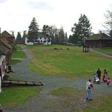
Lieu historique national du Fort-Langley
3.8 km
Large Zenith Telescope
10.1 km
R. E. Mountain Secondary School
8.1 km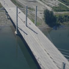
Pitt River Bridge
11.3 km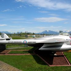
Canadian Museum of Flight
11.3 km
Carvolth Exchange
6.4 km
Kanaka Creek Regional Park
5.5 km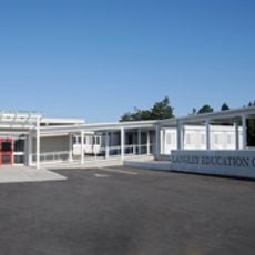
Langley Education Centre
10.7 km
Douglas Park (Langley)
11.6 km
Fort Langley Golf Course
2.2 km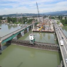
Pitt River Bridge
11.3 km
North Alouette River
10.9 km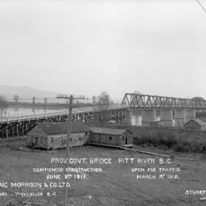
Pitt River Bridge
11.3 km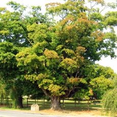
Blair sugar maple tree
11.1 km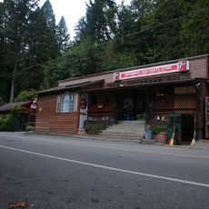
Whonnock General Store
9 km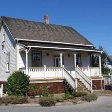
Matheson House
10.5 km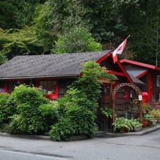
Whonnock Post Office
9 km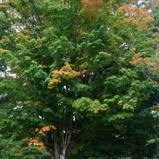
Whonnock sugar maple trees
8.3 km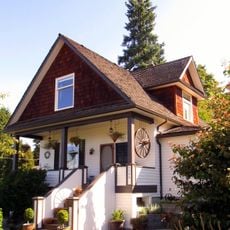
PY Porter House
12.3 km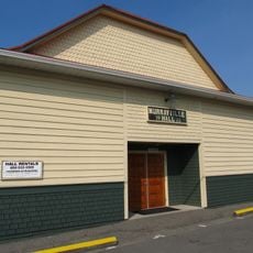
Murrayville Community Hall
12.3 km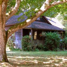
Alex Houston Residence
112 m
Houston Milk House
117 m
Wright memorial maple tree
3 km
Willoughby Heritage School
6.9 km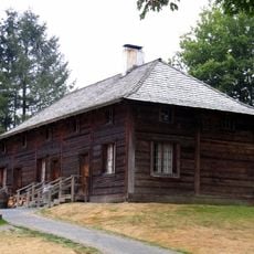
Fort Langley servants' quarters
3.8 km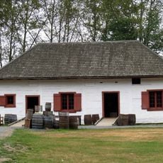
Fort Langley storehouse
3.8 km
Fort Langley Community Hall
3.4 kmReviews
Visited this place? Tap the stars to rate it and share your experience / photos with the community! Try now! You can cancel it anytime.
Discover hidden gems everywhere you go!
From secret cafés to breathtaking viewpoints, skip the crowded tourist spots and find places that match your style. Our app makes it easy with voice search, smart filtering, route optimization, and insider tips from travelers worldwide. Download now for the complete mobile experience.

A unique approach to discovering new places❞
— Le Figaro
All the places worth exploring❞
— France Info
A tailor-made excursion in just a few clicks❞
— 20 Minutes