Mercer's Mill Covered Bridge
Location: West Fallowfield Township
Address: Bailey Crossroads Road Atglen Atglen
GPS coordinates: 39.93148,-75.98155
Latest update: November 17, 2025 08:36
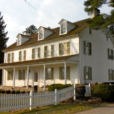
White Chimneys
8.7 km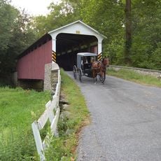
Mercer's Mill Covered Bridge
5 m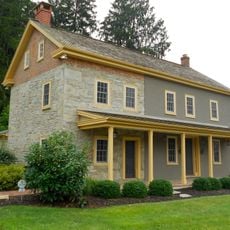
Andrews Bridge Historic District
7.1 km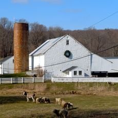
Hopewell Farm
10.4 km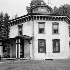
Lukens Pierce House
11.5 km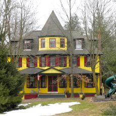
Asa Walton House
11.2 km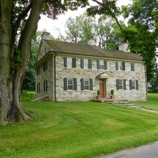
John Douglass House
7.7 km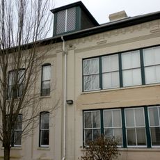
Parkesburg School
6.2 km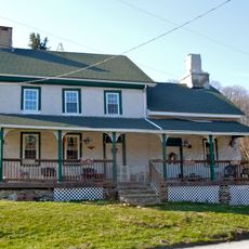
Thomas Scott House
11.6 km
Bellbank Bridge
10 km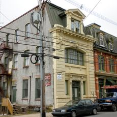
Parkesburg National Bank
5.9 km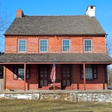
Sandy Hill Tavern
12 km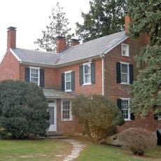
Moses Ross House
10.1 km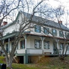
Joseph and Esther Phillips Plantation
862 m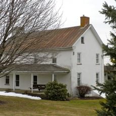
Philip Dougherty House
9.8 km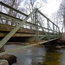
Bridge in West Fallowfield Township
5.5 km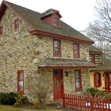
David Scott House
10.7 km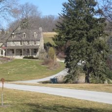
John Bailey Farm
12 km
Isaac Pawling House
11.7 km
Harry DeHaven House
11.6 km
Edward Dougherty House
10.8 km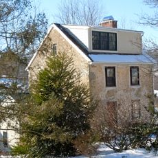
John Ferron House
11.7 km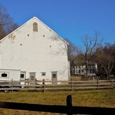
Glen Rose Historic District
10.5 km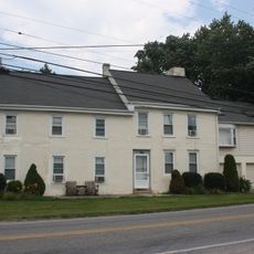
Philip Dougherty Tavern
10.7 km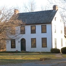
Mansel Passmore House
11.1 km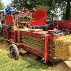
Rough & Tumble Engineers Msm
9.6 km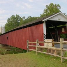
Jackson's Sawmill Covered Bridge
9.2 km
Moccasin Run Golf Course
2.1 kmReviews
Visited this place? Tap the stars to rate it and share your experience / photos with the community! Try now! You can cancel it anytime.
Discover hidden gems everywhere you go!
From secret cafés to breathtaking viewpoints, skip the crowded tourist spots and find places that match your style. Our app makes it easy with voice search, smart filtering, route optimization, and insider tips from travelers worldwide. Download now for the complete mobile experience.

A unique approach to discovering new places❞
— Le Figaro
All the places worth exploring❞
— France Info
A tailor-made excursion in just a few clicks❞
— 20 Minutes