Lower Pool
Location: Waterville Valley
GPS coordinates: 43.99422,-71.39598
Latest update: October 27, 2025 02:21
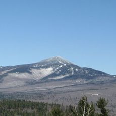
Mount Passaconaway
4.6 km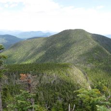
East Peak Mount Osceola
10.1 km
Bear Mountain
8.5 km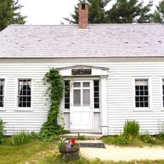
Russell-Colbath House
4.5 km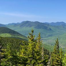
Mount Tremont
7.3 km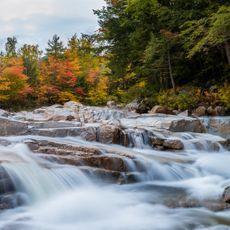
Rocky Gorge Scenic Area
9.4 km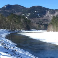
Bartlett Haystack
8.5 km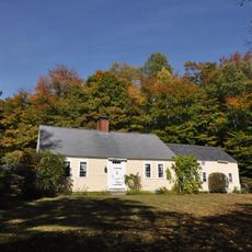
Bradbury Jewell House
9.7 km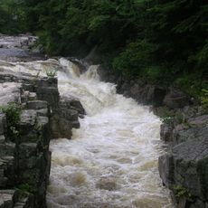
Rocky Gorge
9.5 km
Sabbaday Falls
32 m
Scenic viewpoint
10 km
Scenic viewpoint
10.5 km
Sugar Hill Scenic Vista
3.1 km
Scenic viewpoint
10.1 km
Scenic viewpoint
3.1 km
Scenic viewpoint
7.6 km
Scenic viewpoint
9.2 km
East Ledges
3.6 km
Allen's Ledge
2.7 km
Pemigewasset Overlook
8.7 km
Scenic viewpoint
8.5 km
Waterville Flume viewpoint
6.6 km
Scenic viewpoint
3.2 km
Scenic viewpoint
7.3 km
Scenic viewpoint
7.7 km
East Ledges
3.5 km
Scenic viewpoint
3.3 km
Scenic viewpoint
8.3 kmReviews
Visited this place? Tap the stars to rate it and share your experience / photos with the community! Try now! You can cancel it anytime.
Discover hidden gems everywhere you go!
From secret cafés to breathtaking viewpoints, skip the crowded tourist spots and find places that match your style. Our app makes it easy with voice search, smart filtering, route optimization, and insider tips from travelers worldwide. Download now for the complete mobile experience.

A unique approach to discovering new places❞
— Le Figaro
All the places worth exploring❞
— France Info
A tailor-made excursion in just a few clicks❞
— 20 Minutes