Mukluk Land
Location: Unorganized Borough
Address: Alaska Highway
Opening Hours: Monday-Sunday 14:00-20:00
Website: https://muklukland.net
GPS coordinates: 63.35216,-143.20763
Latest update: November 10, 2025 07:11

Mount Kimball (Alaska)
72.8 km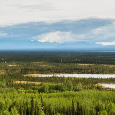
Tetlin National Wildlife Refuge
103.2 km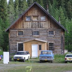
Slana Roadhouse
81.4 km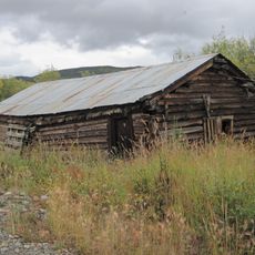
Chicken Historic District
102.1 km
Chief Creek
50.4 km
Berry Creek
70.5 km
Cathedral Rapids
27.3 km
Gakona Glacier
100 km
Johnson Glacier (Fairbanks)
89.3 km
Alaska-Canada Military Highway
85.2 km
Cathedral Bluffs
26.8 km
Tower Bluffs
32.8 km
East Fork Chistochina River
75.6 km
Little Gerstle River
92.2 km
Mentasta Mountains
97.8 km
Robertson River
33.1 km
Slana River
67 km
Johnson River
81.4 km
Mount Kimball
72.8 km
Pedro Dredge
101.5 km
Historic Dredge Camp
101.6 km
Porcupine Creek State Recreation Site
77.1 km
Chicken chicken statue
101.4 km
Scenic viewpoint
28.5 km
Scenic viewpoint
33.6 km
Scenic viewpoint
78.2 km
Scenic viewpoint
21.1 km
Scenic viewpoint
83.5 kmReviews
Visited this place? Tap the stars to rate it and share your experience / photos with the community! Try now! You can cancel it anytime.
Discover hidden gems everywhere you go!
From secret cafés to breathtaking viewpoints, skip the crowded tourist spots and find places that match your style. Our app makes it easy with voice search, smart filtering, route optimization, and insider tips from travelers worldwide. Download now for the complete mobile experience.

A unique approach to discovering new places❞
— Le Figaro
All the places worth exploring❞
— France Info
A tailor-made excursion in just a few clicks❞
— 20 Minutes