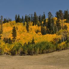
The Blowdown
Location: Coconino County
GPS coordinates: 36.40248,-112.15740
Latest update: November 16, 2025 11:26
Kaibab National Forest
2.3 km
Excalibur
17.9 km
Elaine Castle
15.8 km
Timp Point
18 km
North Rim Entrance Station
8.4 km
Telephone Hill Lookout Tree
16.2 km
Tater Point Lookout Tree
16 km
Tipover Lookout Tree
4.4 km
Cameron's Hotel
1.9 km
Kanabownitz Lookout
13.5 km
Bedivere Point
18.1 km
Big Spring Canyon
13.1 km
Dry Park Lookout
9.2 km
Bee Spring Point
17.7 km
Tater Point
15.3 km
Kanab Canyon
16.5 km
Dog Point
11.5 km
North Timp Point
18.3 km
Lancelot Point
14.4 km
Locust Point
18.3 km
Galahad Point
16.6 km
Stina Point
16.9 km
Road Hollow Point
16.4 km
Dog Canyon Apron
6.4 km
Bison Watching Spot
10 km
Marble Viewpoint
8.6 km
East Rim Viewpoint
6.4 km
Crystal Canyon Viewpoint
17 kmReviews
Visited this place? Tap the stars to rate it and share your experience / photos with the community! Try now! You can cancel it anytime.
Discover hidden gems everywhere you go!
From secret cafés to breathtaking viewpoints, skip the crowded tourist spots and find places that match your style. Our app makes it easy with voice search, smart filtering, route optimization, and insider tips from travelers worldwide. Download now for the complete mobile experience.

A unique approach to discovering new places❞
— Le Figaro
All the places worth exploring❞
— France Info
A tailor-made excursion in just a few clicks❞
— 20 Minutes