Roten Auen, protected area of Upper Austria, Austriaarea in Austria (4092)
Location: Weitersfelden
Inception: 1996
GPS coordinates: 48.52793,14.73483
Latest update: November 13, 2025 06:54
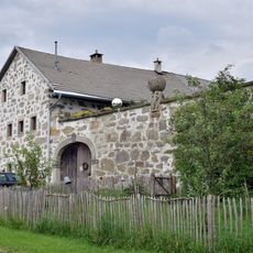
Hoisn-Hof
2.4 km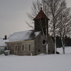
Ortskapelle Schöneben
635 m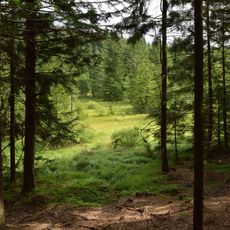
Richterbergau
3.9 km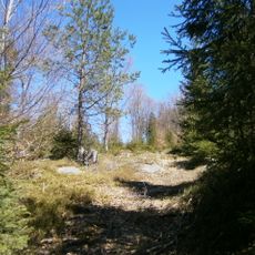
Ehem. Glashütte am Bauernberg
2.7 km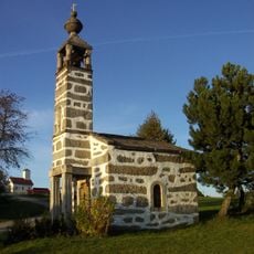
Hoisn-Kapelle
2.4 km
Bumau
3.1 km
Wayside shrine
1 km
Wayside shrine
3.9 km
Wayside cross
2.7 km
Wayside shrine
2.7 km
Wayside shrine
2.8 km
Wayside shrine
3 km
Wayside cross
2.3 km
Wayside shrine
2.1 km
Scenic viewpoint
3.8 km
Wayside shrine
945 m
Wayside cross
3.9 km
Wayside shrine
3.3 km
Wayside shrine
938 m
Wayside shrine
2.5 km
Wayside cross
2.9 km
Wayside cross
2.9 km
Wayside cross
3.6 km
Wayside shrine
3.6 km
Wayside shrine
3.8 km
Wayside shrine
1.9 km
Wayside shrine
1.1 km
Wayside shrine
3.4 kmReviews
Visited this place? Tap the stars to rate it and share your experience / photos with the community! Try now! You can cancel it anytime.
Discover hidden gems everywhere you go!
From secret cafés to breathtaking viewpoints, skip the crowded tourist spots and find places that match your style. Our app makes it easy with voice search, smart filtering, route optimization, and insider tips from travelers worldwide. Download now for the complete mobile experience.

A unique approach to discovering new places❞
— Le Figaro
All the places worth exploring❞
— France Info
A tailor-made excursion in just a few clicks❞
— 20 Minutes