Burgberg in Losenstein, protected area of Upper Austria
Location: Losenstein
Inception: 2017
Elevation above the sea: 420 m
Part of: Burg Losenstein
GPS coordinates: 47.92400,14.43700
Latest update: November 16, 2025 15:34
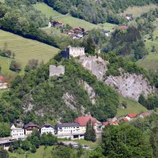
Burg Losenstein
3 m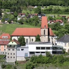
Pfarrkirche Losenstein
384 m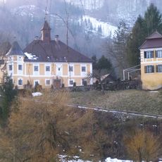
Schloss Hammeries
1.9 km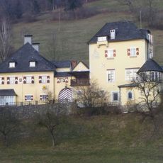
Schloss Voglsang
1.9 km
Burgruine Losenstein
43 m
Eibenwald
2.9 km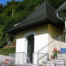
Blasibrunn-Kapelle
877 m
Stiedelsbach 40
1.3 km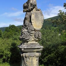
Statue of John of Nepomuk, Laussabrücke Losenstein
1.6 km
Schloss Hammerschmiedries
1.8 km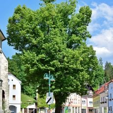
Große Linde in Losenstein
354 m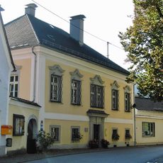
Pfarrhof
385 m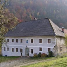
Ertlgut, Gut am Örtl in Rohrbach
2.9 km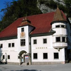
Gasthaus, ehem. Zur Schlosstaverne
104 m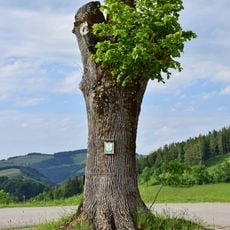
Linde in Laussa
3 km
Jungscharhütte vormals Hochgschwandt
2.2 km
Großpeilsteiner Kellergebäude
2.5 km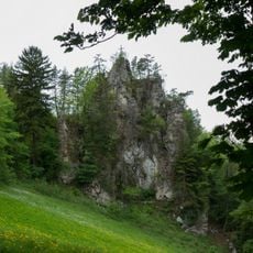
Thalsteinmauer
1.8 km
Wasserfall
1.3 km
Hallenbad Losenstein
506 m
Wayside shrine
1.5 km
Wayside shrine
1.9 km
Wayside shrine
2.9 km
Rote Mauer
960 m
Fatimakapelle
1.8 km
Memorial, commemorative plaque
1.5 km
Wayside shrine
1.8 km
Waterfall
1.9 kmReviews
Visited this place? Tap the stars to rate it and share your experience / photos with the community! Try now! You can cancel it anytime.
Discover hidden gems everywhere you go!
From secret cafés to breathtaking viewpoints, skip the crowded tourist spots and find places that match your style. Our app makes it easy with voice search, smart filtering, route optimization, and insider tips from travelers worldwide. Download now for the complete mobile experience.

A unique approach to discovering new places❞
— Le Figaro
All the places worth exploring❞
— France Info
A tailor-made excursion in just a few clicks❞
— 20 Minutes