
Dorflinde in Natternbach, natural monument of Upper Austria, Austria
Location: Grieskirchen District
GPS coordinates: 48.39723,13.74952
Latest update: November 14, 2025 23:56
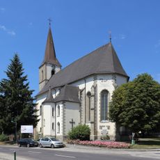
Pfarrkirche Natternbach
28 m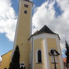
Pfarrkirche Neukirchen am Walde
2.5 km
Schloss Spättenbrunn
2.7 km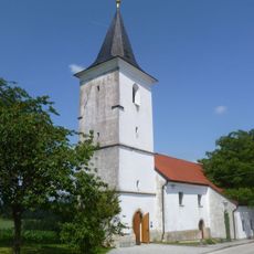
Filialkirche Straß bei Sankt Sixt
4 km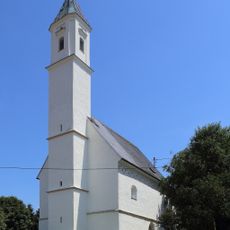
Kath. Filialkirche, hl. Jakob
3.9 km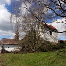
Obere und Untere Kreuzbergkapelle
2.5 km
Schanze Hochholding-Dornedt
6 km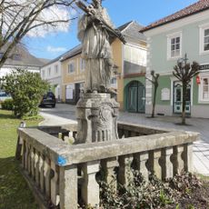
Figurenbildstock hl. Johannes Nepomuk
2.5 km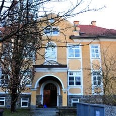
Wohnhaus, ehem. Altersheim
5.7 km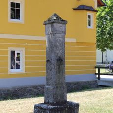
Pranger
6 km
Jungfraustein bei Natternbach
5.6 km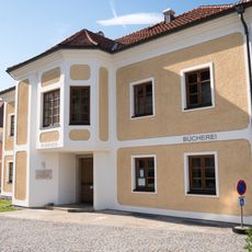
Öffentliche Bücherei der Pfarre Neukirchen
2.5 km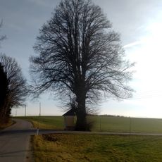
Kapellenlinde bei Neukirchen am Walde
2.9 km
Parzer- oder Hinterbergermühle
5.6 km
Marterl
6 km
Barbarastein
3.1 km
Freibad Natternbach
465 m
Wayside shrine
5.9 km
Schanzenanlage Hochholding
6 km
Jungfraustein
5.7 km
Wayside shrine
4.7 km
IKUNA Naturerlebnispark
494 m
Wayside cross
6 km
Wayside shrine
2.6 km
Wayside shrine
3.1 km
Wayside cross
3.6 km
Fliegerkreuz
5.6 km
Wayside shrine, Christianity
5.8 kmReviews
Visited this place? Tap the stars to rate it and share your experience / photos with the community! Try now! You can cancel it anytime.
Discover hidden gems everywhere you go!
From secret cafés to breathtaking viewpoints, skip the crowded tourist spots and find places that match your style. Our app makes it easy with voice search, smart filtering, route optimization, and insider tips from travelers worldwide. Download now for the complete mobile experience.

A unique approach to discovering new places❞
— Le Figaro
All the places worth exploring❞
— France Info
A tailor-made excursion in just a few clicks❞
— 20 Minutes