Burgstall Dürrenberg, lost fortification in the municipality of Kopfing im Innkreis, Upper Austria
Location: Kopfing im Innkreis
GPS coordinates: 48.41931,13.65166
Latest update: November 18, 2025 19:59
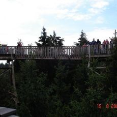
Baumkronenweg Kopfing
3.7 km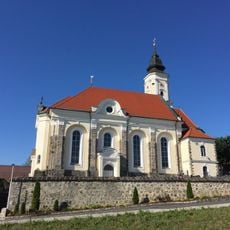
Pfarrkirche Kopfing
2.3 km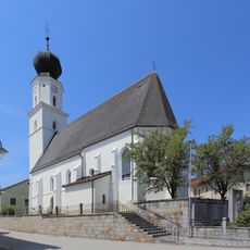
Saint Nicholas Church
3.5 km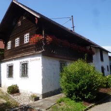
Heimatmuseum, Mesnerhaus
3.5 km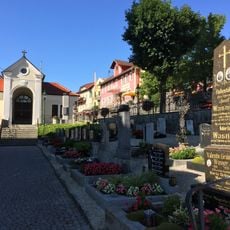
Friedhof Kopfing
2.3 km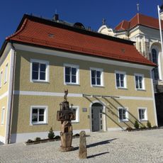
Pfarrhof Kopfing
2.3 km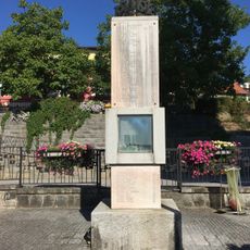
Kriegerdenkmal Kopfing
2.3 km
Pestfriedhof Mühlwitraun
3.1 km
Befestigung Jegling
383 m
Bauern- und Handwerkerhaus, Bachmairschusterhaus
3 km
Bildstocklinde in Buchet
3.7 km
Labyrinth
3.7 km
Marterl
2.2 km
Waldbühne
3.7 km
Riesen-Trampolin
3.7 km
Riesenrutsche
3.6 km
Rupertusstein
1.8 km
Baumhotel
3.7 km
Kletterturm
3.7 km
Baumkronenweg
3.5 km
Gruppen-Baumhaus
3.7 km
Wayside shrine
3.6 km
Marterl
2.3 km
Wayside cross, Christianity, Catholic church building
2.2 km
Catholic church building, wayside cross, Christianity
2.4 km
Edlman Kreuz
3.6 km
Fliegerkreuz
3.3 km
Franzosenkreuz
2.4 kmVisited this place? Tap the stars to rate it and share your experience / photos with the community! Try now! You can cancel it anytime.
Discover hidden gems everywhere you go!
From secret cafés to breathtaking viewpoints, skip the crowded tourist spots and find places that match your style. Our app makes it easy with voice search, smart filtering, route optimization, and insider tips from travelers worldwide. Download now for the complete mobile experience.

A unique approach to discovering new places❞
— Le Figaro
All the places worth exploring❞
— France Info
A tailor-made excursion in just a few clicks❞
— 20 Minutes