
Jagdhaus Hochreit, Denkmalgeschütztes Objekt in Rohr im Gebirge (244306)
Location: Rohr im Gebirge
Address: Tiefental 2c, 2663 Rohr/Gebirge
GPS coordinates: 47.86633,15.62915
Latest update: November 13, 2025 07:18
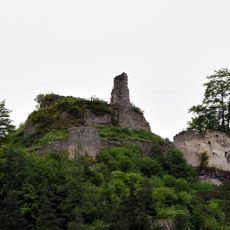
Ruine Hohenberg
4.3 km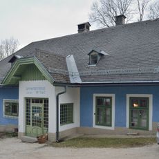
Landhaus Bergerhöhe, Hohenberg, Lower Austria
4.1 km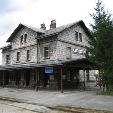
Aufnahmsgebäude Bahnhof St. Aegyd am Neuwalde
4.3 km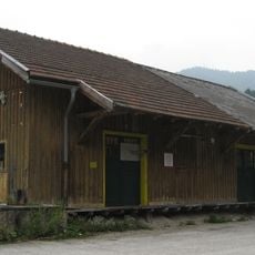
Gütermagazin Bahnhof St. Aegyd am Neuwalde
4.3 km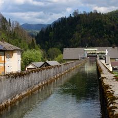
Kaiser Jubiläums Elektrizitätswerk
3.7 km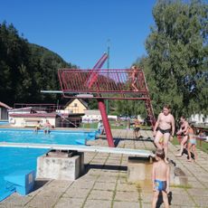
Göllerbad
4.3 km
Wayside shrine, Christianity, chapel
3.2 km
Wayside cross
3.1 km
Großer Schleierfall
1.9 km
Scenic viewpoint, triangulation station, survey marker
2 km
Planerwarte
3.8 km
Mountain, summit, hill, scenic viewpoint
3.1 km
Summit, survey marker, hill, scenic viewpoint, mountain, triangulation station
2.8 km
Tiefental
2.6 km
Kleiner Schleierfall
2.4 km
Wayside cross
3.2 km
Wayside shrine, Christianity
1.9 km
Seebachquelle
1.9 km
Wayside shrine
3.3 km
Wayside shrine
3.3 km
Wayside cross
3.5 km
Wayside cross
2.3 km
Memorial
4.4 km
Wayside cross
1.6 km
Wayside cross
3.4 km
Wayside shrine
2.5 km
Wayside cross
4.2 km
Wayside shrine
3.3 kmReviews
Visited this place? Tap the stars to rate it and share your experience / photos with the community! Try now! You can cancel it anytime.
Discover hidden gems everywhere you go!
From secret cafés to breathtaking viewpoints, skip the crowded tourist spots and find places that match your style. Our app makes it easy with voice search, smart filtering, route optimization, and insider tips from travelers worldwide. Download now for the complete mobile experience.

A unique approach to discovering new places❞
— Le Figaro
All the places worth exploring❞
— France Info
A tailor-made excursion in just a few clicks❞
— 20 Minutes