Ludwigshof, estate
Location: Enzersdorf an der Fischa
GPS coordinates: 48.07670,16.64000
Latest update: November 13, 2025 17:40

Flugplätze in Wien
3.8 km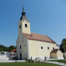
Kath. Pfarrkirche hl. Florian
2.3 km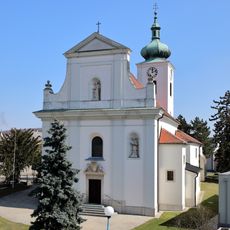
Saint Thomas Church
2.6 km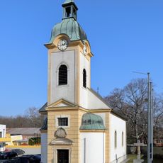
Kath. Filialkirche hl. Johann d. Täufer
3.1 km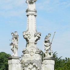
Pest-/Dreifaltigkeitssäule
2.6 km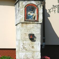
Bildstock
2.4 km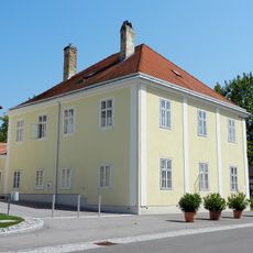
Pfarrhof
2.4 km
Dreifaltigkeitssäule
2.7 km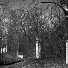
Kleinneusiedler paper factory
3 km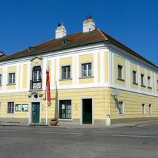
Wohnhaus
2.6 km
Pfister-Haus
3.1 km
Seekreuz
3.5 km
Memorial, war memorial
2.6 km
Wayside cross
2.2 km
The lonely old Tree
2 km
Wayside shrine
2.4 km
Wayside cross
2.6 km
Wayside shrine, Christianity
2.8 km
Mayer Kreuz / Weißes Kreuz
2.7 km
Dreifaltigkeitssäule
2.7 km
Work of art, sculpture
3.2 km
Wayside cross
2.2 km
St. Hubertus
3.4 km
Wayside shrine
2 km
Brunnthaler Kreuz
2 km
Wayside cross
2.4 km
Christianity, house of prayer, place of worship, wayside shrine
3.4 km
Mariendarstellung
2.4 kmReviews
Visited this place? Tap the stars to rate it and share your experience / photos with the community! Try now! You can cancel it anytime.
Discover hidden gems everywhere you go!
From secret cafés to breathtaking viewpoints, skip the crowded tourist spots and find places that match your style. Our app makes it easy with voice search, smart filtering, route optimization, and insider tips from travelers worldwide. Download now for the complete mobile experience.

A unique approach to discovering new places❞
— Le Figaro
All the places worth exploring❞
— France Info
A tailor-made excursion in just a few clicks❞
— 20 Minutes