Nationalpark Hohe Tauern Außenzonen Land Salzburg
Location: Salzburg
Inception: 1984
GPS coordinates: 47.18070,12.91130
Latest update: October 15, 2024 13:33
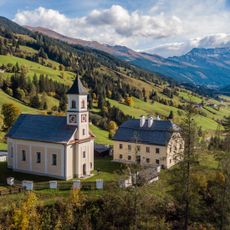
Pfarrkirche Bucheben
5.1 km
Edlenkopf
5.1 km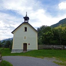
Einödkapelle, Rauris
4.9 km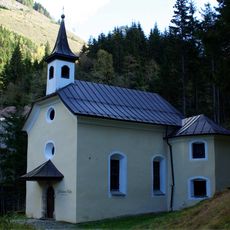
Wolfgang-Kapelle, Bad Fusch
4.8 km
Schwarzkopf
4.1 km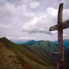
Breitebenkopf
2 km
Bildstock
1.5 km
Schodenkopf
2.9 km
Schafkarkogel
3.5 km
Tristenwandkopf
3.6 km
Hirzkarkopf
6.1 km
Schaflegerkopf
6.2 km
Kaserköpfl
761 m
Pfarrhof
5.1 km
Kreuzköpfl
5 km
Reißrachkopf
5 km
Wayside cross
2.5 km
Scenic viewpoint
4.8 km
Wayside cross
4.8 km
Rieger Hochalm (verfallen)
3.8 km
Schernthaner
1.9 km
Wayside cross
5.1 km
Naturpark Hohe Tauern - Haus Könige der Lüfte
5.2 km
Scenic viewpoint, bench
5.4 km
Greifvogelschau Hochalm
5.6 km
Scenic viewpoint
6.1 km
Waterfall
1.5 km
Scenic viewpoint
6.1 kmReviews
Visited this place? Tap the stars to rate it and share your experience / photos with the community! Try now! You can cancel it anytime.
Discover hidden gems everywhere you go!
From secret cafés to breathtaking viewpoints, skip the crowded tourist spots and find places that match your style. Our app makes it easy with voice search, smart filtering, route optimization, and insider tips from travelers worldwide. Download now for the complete mobile experience.

A unique approach to discovering new places❞
— Le Figaro
All the places worth exploring❞
— France Info
A tailor-made excursion in just a few clicks❞
— 20 Minutes