
Freibad Unterweißenbach
Location: Unterweißenbach
Operator: Marktgemeinde Unterweißenbach
GPS coordinates: 48.43655,14.78343
Latest update: November 13, 2025 15:16
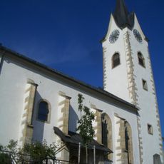
Saint Nicholas Church
156 m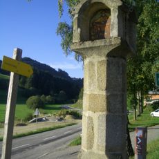
Tabernakelpfeiler Unterweißenbach
270 m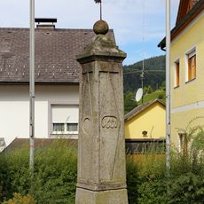
Pranger Unterweißenbach
247 m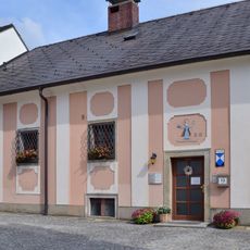
Pfarrhof Unterweißenbach
129 m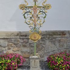
Pfarrkirche Unterweißenbach - rokoko crosses
162 m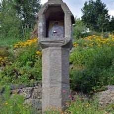
Spielmannskreuz
928 m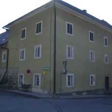
Ehemaliges Bezirksgericht
196 m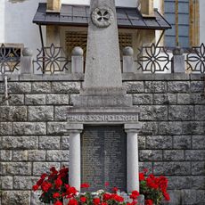
Kriegerdenkmal Unterweißenbach
156 m
Wayside cross
658 m
Wayside shrine
681 m
Scenic viewpoint
1 km
Wayside shrine
1.1 km
Hietler Kreuz
1.1 km
Wayside shrine
591 m
Hl. Nepomuk
167 m
Wayside shrine
861 m
Wayside shrine
784 m
Nikolausstatue
136 m
Horner
798 m
Pestsäule
167 m
Memorial, war memorial
175 m
Missionskreuz
170 m
Wayside shrine
340 m
Altmann Marterl
951 m
Lederbichler Marterl
1 km
Haunschmidt Kapelle
453 m
Bildbaum Fernblick
711 m
Gedenkstein
1.1 kmReviews
Visited this place? Tap the stars to rate it and share your experience / photos with the community! Try now! You can cancel it anytime.
Discover hidden gems everywhere you go!
From secret cafés to breathtaking viewpoints, skip the crowded tourist spots and find places that match your style. Our app makes it easy with voice search, smart filtering, route optimization, and insider tips from travelers worldwide. Download now for the complete mobile experience.

A unique approach to discovering new places❞
— Le Figaro
All the places worth exploring❞
— France Info
A tailor-made excursion in just a few clicks❞
— 20 Minutes