Hallen und Freibad Kirchberg
Location: Kirchberg
Accessibility: Wheelchair inaccessible
Operator: Verbandsgemeinde Kirchberg
Phone: +496763302870
GPS coordinates: 49.94732,7.40322
Latest update: November 4, 2025 18:05

Dumnissus
951 m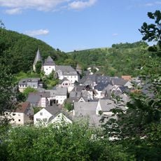
Burg Herrstein
4.7 km
Lützelsoon-Radweg
569 m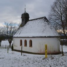
Wernerkapelle (Womrath)
4.3 km
Jüdischer Friedhof
521 m
Wasserbehälter
4.7 km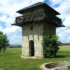
Römerturm
4.4 km
Römischer Wachturm
4.4 km
St. Michael
532 m
Kriegerdenkmal
2.8 km
Christianity, wayside cross
884 m
Scenic viewpoint
2.2 km
Zur schönen Aussicht
2 km
Alter Wasserturm
2.6 km
Originalstück der Römerstraße
4.5 km
Kriegerdenkmal
4.6 km
Badisches Teehaus
678 m
Kriegerdenkmal 2. Weltkrieg
3.8 km
Scenic viewpoint
3.5 km
Wayside cross
4.9 km
Kriegerdenkmal 1. Weltkrieg
3.8 km
Archaeological site
4.5 km
Archaeological site
4.5 km
Archaeological site
4.6 km
Archaeological site
4.5 km
Archaeological site
4.6 km
Archaeological site
4.6 km
Memorial
641 mReviews
Visited this place? Tap the stars to rate it and share your experience / photos with the community! Try now! You can cancel it anytime.
Discover hidden gems everywhere you go!
From secret cafés to breathtaking viewpoints, skip the crowded tourist spots and find places that match your style. Our app makes it easy with voice search, smart filtering, route optimization, and insider tips from travelers worldwide. Download now for the complete mobile experience.

A unique approach to discovering new places❞
— Le Figaro
All the places worth exploring❞
— France Info
A tailor-made excursion in just a few clicks❞
— 20 Minutes