Mehrzweckhalle Salchendorf
Location: Neunkirchen
Accessibility: Accesso limitato in sedia a rotelle
GPS coordinates: 50.79640,8.01523
Latest update: November 23, 2025 07:21
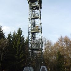
Pfannenbergturm
2.3 km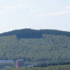
Pfannen-Berg
2.3 km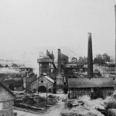
Eiserfelder Hütte
3.8 km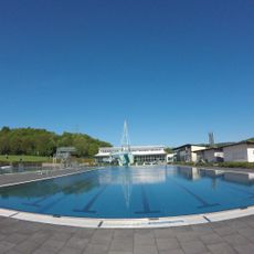
Familienbad Freier Grund
911 m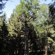
Königseiche (Salchendorf)
1.6 km
Leyen-Kopf
1.8 km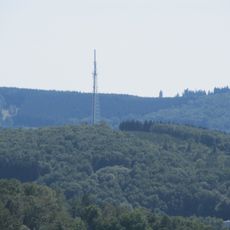
Heller-Berg
1.9 km
Naturfreibad Eiserfeld
3.3 km
Museum des freien Grundes
1.5 km
Südliche Hellertalaue
3.8 km
Kreuzeiche
3.2 km
Pfannenberger Wald
2 km
Wildenbachtal
1.9 km
Wildenbachtal
2.6 km
Mischebachtal
3.4 km
LSG-Neunkirchen
703 m
Hofstätter Wald
1.9 km
Hellertalaue
3.1 km
Halde Jäckel
2.5 km
Work of art
2.3 km
Kreuzeiche
3.5 km
Scenic viewpoint
3.6 km
Abraumhalde
3.5 km
Scenic viewpoint
2.5 km
Kriegerdenkmal Altenseelbach
2.4 km
Kriegerdenkmal
1.4 km
Wayside cross
2.8 km
Kriegerdenkmal
2.5 kmReviews
Visited this place? Tap the stars to rate it and share your experience / photos with the community! Try now! You can cancel it anytime.
Discover hidden gems everywhere you go!
From secret cafés to breathtaking viewpoints, skip the crowded tourist spots and find places that match your style. Our app makes it easy with voice search, smart filtering, route optimization, and insider tips from travelers worldwide. Download now for the complete mobile experience.

A unique approach to discovering new places❞
— Le Figaro
All the places worth exploring❞
— France Info
A tailor-made excursion in just a few clicks❞
— 20 Minutes