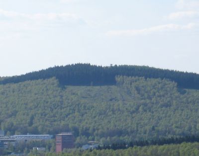
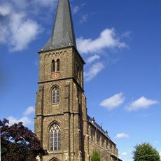
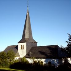
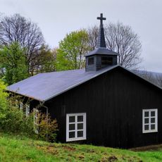
Pfannen-Berg, Mountain summit in North Rhine-Westphalia, Germany.
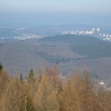
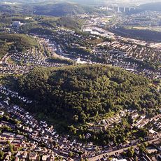
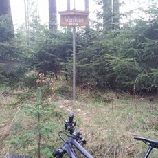
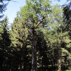
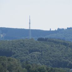
Pfannen-Berg is a mountain summit in North Rhine-Westphalia standing at approximately 500 meters, with varying vegetation types across its slopes. The area is crossed by multiple hiking paths that wind through valleys and connect different points of the Naturpark Sauerland-Rothaargebirge.
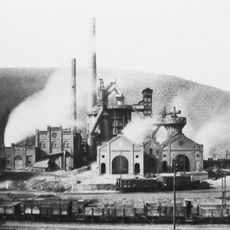
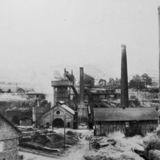
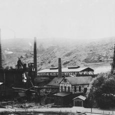
Early Celtic communities settled in the area and conducted ore mining, driving extraction shafts into the mountainside at multiple depths. This mining tradition shaped the region for centuries and left visible marks on the landscape that remain today.
The mountain is part of the Naturpark Sauerland-Rothaargebirge and its name reflects the historical mining activities that shaped the region. Visitors can still observe how these past activities have become woven into the local understanding of the landscape.
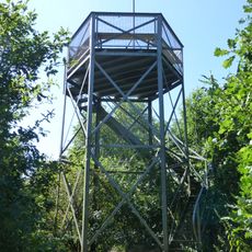
The summit is reachable via several marked hiking paths starting from different locations and offering rest areas along established routes. Parking areas near the base make it easy to begin your walk from various starting points in the surrounding region.
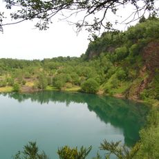
The mountainside reveals rock layers from the Rheinisches Schiefergebirge that tell the story of an ancient sea that once covered this entire region. These visible strata allow walkers to read the geological history directly written in stone.
The community of curious travelers
AroundUs brings together thousands of curated places, local tips, and hidden gems, enriched daily by 60,000 contributors worldwide.