Eisernhardt, Mountain summit in Siegen, Germany
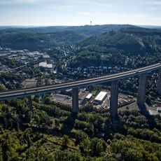
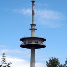
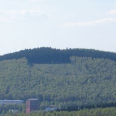
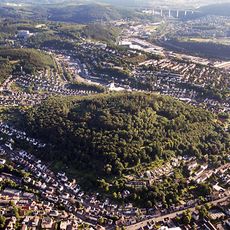
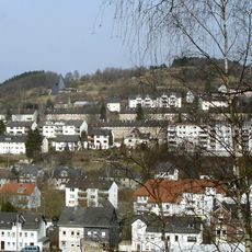
Eisernhardt is a 482.3-metre hill in the southern part of Siegen, in the Eisern district, north of the village of Eisern and east of Eiserfeld. On its slope at 462.4 metres stands the Siegen-Süd telecommunications tower, visible from afar, which broadcasts mobile radio and DAB+ digital radio. The Minnerbach stream rises on the hill, and the A45 motorway runs south of it.
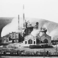
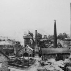
Mining on the Eisernhardt is documented from the 17th century: the Hohler Stein pit operated from 1655 with a shaft 175 m deep, and Glücksbrunnen and Eiserne Krone worked in the early 19th century. The Eiserner Union pit, formed in 1887 from several small operations, was the largest on the mountain and reached almost 790 m before closing in 1925. Stracke Birke was founded in 1768 at the southern foot.
Since 1934 the Eisernhardt has hosted gliding; the airfield lies between the hill and the neighbouring Gilberg, and the local gliding club was founded in 1930. A 26-station trail laid out between 2005 and 2016 explains the early mining relics, with information boards at each stop.
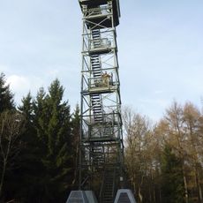
The summit can be reached by several marked hiking trails starting from different points across Siegen with varying difficulty levels. Parking areas are available at the main trailheads, allowing visitors to leave their vehicles before setting out toward the peak.
The 462.4-metre Fernmeldeturm Siegen-Süd stands on the Eisernhardt and broadcasts mobile signals and DAB+ digital radio; since 14 December 2015 it has carried 13 nationwide programmes with 10 kW, receivable well into the valleys. Gliding has taken place on the slope since 1934, and the local gliding club was founded in 1930.
The community of curious travelers
AroundUs brings together thousands of curated places, local tips, and hidden gems, enriched daily by 94,505 contributors worldwide.