Ken Heim Memorial Council Ring
Location: Town of Rockland
GPS coordinates: 41.96230,-74.75841
Latest update: November 10, 2025 11:47
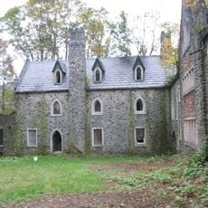
Dundas Castle
8.8 km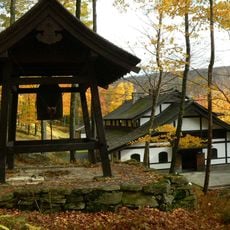
Dai Bosatsu Zendo Kongo-ji
12 km
Catskill Fly Fishing Center and Museum
7.9 km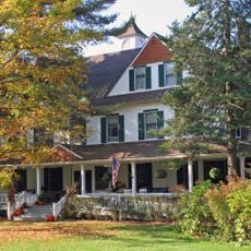
Beaverkill Valley Inn
6.5 km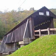
Beaverkill Bridge
6.8 km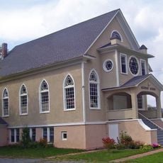
Agudas Achim Synagogue
8.8 km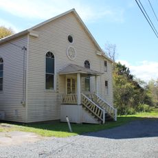
Tefereth Israel Anshei Parksville Synagogue
11.6 km
Coykendall Lodge
11.7 km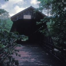
Van Tran Flat Bridge
8.1 km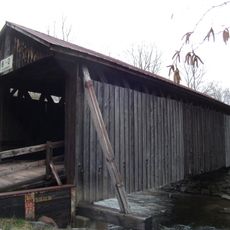
Bendo Bridge
7.9 km
Rockland Mill Complex
13 km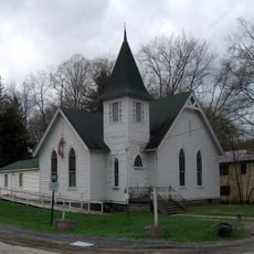
First Methodist Episcopal Church of Parksville
11.9 km
Amber Lake
8.5 km
Big Pond
9.8 km
Matawa Lake
12.6 km
Lenape Lake
12.4 km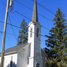
Roscoe Presbyterian Church and Westfield Flats Cemetery
13.2 km
VanTran Covered Bridge
8.1 km
Little Pond Campground
8.2 km
Beaverkill Campground
7 km
Mongaup Pond Campground
6 km
Beamoc Trout
13.3 km
Scenic viewpoint
9.3 km
Scenic viewpoint
9.4 km
Split Rock Lookout
11.9 km
Scenic viewpoint
9.8 km
Tompkins Falls
12.6 km
Wildcat Falls
921 mVisited this place? Tap the stars to rate it and share your experience / photos with the community! Try now! You can cancel it anytime.
Discover hidden gems everywhere you go!
From secret cafés to breathtaking viewpoints, skip the crowded tourist spots and find places that match your style. Our app makes it easy with voice search, smart filtering, route optimization, and insider tips from travelers worldwide. Download now for the complete mobile experience.

A unique approach to discovering new places❞
— Le Figaro
All the places worth exploring❞
— France Info
A tailor-made excursion in just a few clicks❞
— 20 Minutes