
Frameworks
Location: Northumberland
Accessibility: Wheelchair limited access
Address: Bridge Street Blyth Blyth
GPS coordinates: 55.12736,-1.50608
Latest update: April 11, 2025 16:07
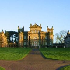
Seaton Delaval Hall
5.1 km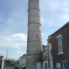
Blyth High Light
437 m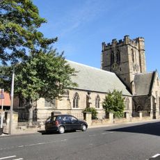
Church of St Cuthbert
205 m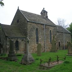
Church of Our Lady, Seaton Delaval
5.2 km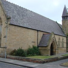
Church of St Mary
355 m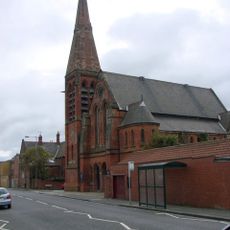
Blyth United Reformed Church
559 m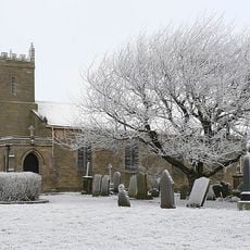
Church of St Mary
4.5 km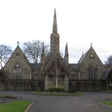
Pair Of Chapels In Cowpen Cemetery
1.5 km
Church of Our Lady and St Wilfred
596 m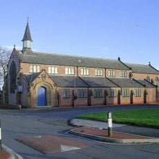
Parish Church of St. John
4.1 km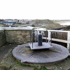
Turntable Mechanism 20 Metres West Of The King's Arms Hotel
5.3 km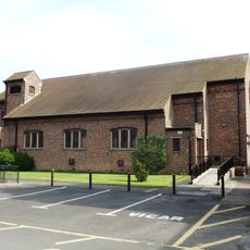
St Bede Church
2.6 km
Ha Ha Wall With Angle Bastions And Statues Enclosing Seaton Delaval Hall And Church Of Our Lady
5.3 km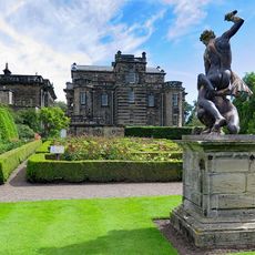
Statue of Samson Slaying Philistine in Garden to West of Seaton Delaval Hall
5.1 km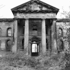
Mausoleum 500 Metres East Of Seaton Delaval Hall
5.2 km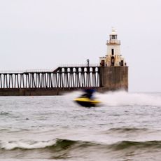
Blyth East Pier light
1.7 km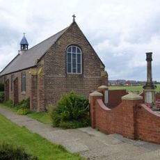
Cambois War Memorial
2.4 km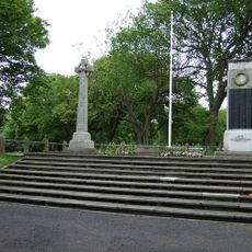
Blyth First World War Memorial
494 m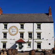
Kings Arms Hotel With Coach House To East
5.3 km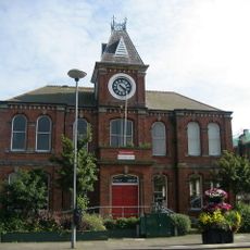
Blyth Library
62 m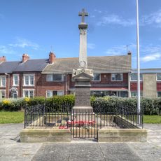
Seaton Sluice and Old Hartley War Memorial
5.4 km
Blyth WWII Memorial Garden, Northumderland
496 m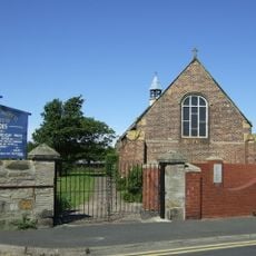
Church of St Andrew
2.4 km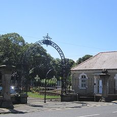
Gates And Screen Wall At Entrance To Cowpen Cemetery
1.5 km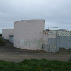
Fort On Blyth Links
2.3 km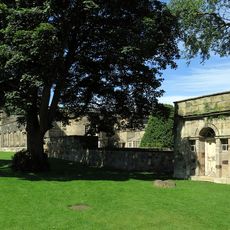
Privy 80 Metres North East Of Seaton Delaval Hall
5 km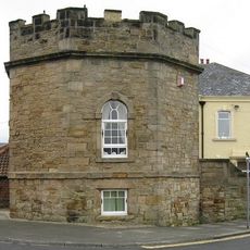
The Octagon
5.3 km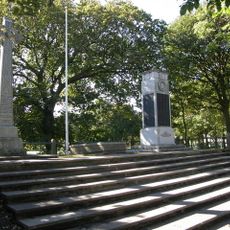
Blyth Boer War Memorial, Northumberland
497 mReviews
Visited this place? Tap the stars to rate it and share your experience / photos with the community! Try now! You can cancel it anytime.
Discover hidden gems everywhere you go!
From secret cafés to breathtaking viewpoints, skip the crowded tourist spots and find places that match your style. Our app makes it easy with voice search, smart filtering, route optimization, and insider tips from travelers worldwide. Download now for the complete mobile experience.

A unique approach to discovering new places❞
— Le Figaro
All the places worth exploring❞
— France Info
A tailor-made excursion in just a few clicks❞
— 20 Minutes