Cape Vidal
Location: Mtubatuba Local Municipality
GPS coordinates: -28.12839,32.55922
Latest update: November 30, 2024 18:48
ISimangaliso Wetland Park
15.4 km
False Bay Park
25.8 km
St. Lucia Game Park
19.2 km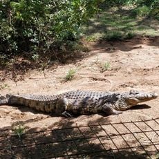
Crocodile Centre
29 km
Cape Vidal Lighthouse
2.3 km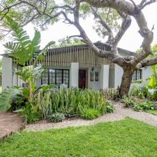
Emdoneni Cheetah Project
27.9 km
St. Lucia System
24.7 km
Saint Lucia Park
21.7 km
Cape Vidal State Forest
7.3 km
Eastern Shores State Forest
9.6 km
Nyalazi State Forest
17.4 km
Scenic viewpoint
19.8 km
Scenic viewpoint
28.8 km
Makakatana Lodge
18.7 km
Scenic viewpoint
19.8 km
Mission Rocks Beach
18.2 km
Amazibu Hide
24.2 km
Scenic viewpoint
16.8 km
Catilina Bay Viewpoint
12.8 km
Mabeni Viewpoint
3.9 km
Scenic viewpoint
19.1 km
Main Beach
28.9 km
KwaLokothwayo Lookout
2.2 km
Jabula Beach
29.3 km
Crocodylus Private Sanctuary and Ostrich Farm
29.5 km
Ndlovu Beach
29.7 km
Ingwe Beach
30.4 km
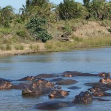
Hipo's View
30.6 kmReviews
Visited this place? Tap the stars to rate it and share your experience / photos with the community! Try now! You can cancel it anytime.
Discover hidden gems everywhere you go!
From secret cafés to breathtaking viewpoints, skip the crowded tourist spots and find places that match your style. Our app makes it easy with voice search, smart filtering, route optimization, and insider tips from travelers worldwide. Download now for the complete mobile experience.

A unique approach to discovering new places❞
— Le Figaro
All the places worth exploring❞
— France Info
A tailor-made excursion in just a few clicks❞
— 20 Minutes