Harbour
Location: Esperance
Location: Shire Of Esperance
GPS coordinates: -33.86762,121.89478
Latest update: November 22, 2025 20:53

Blue Haven
3.7 km
West Beach
2 km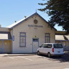
Bijou Theatre
529 m
RSL Memorial Park
829 m
Dempster Heights Park
1.6 km
Lalor Park
3.5 km
Tree at Old Fish Cannery
2 km
Hughes Step
1.6 km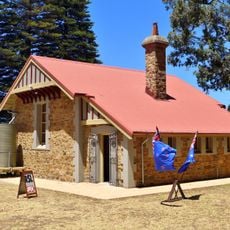
R.S.L. Building / RSL Headquarters
853 m
Lovers Beach
1.2 km
Dempster Homestead, Esperance
552 m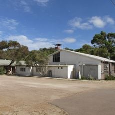
Esperance Fish Cannery
2 km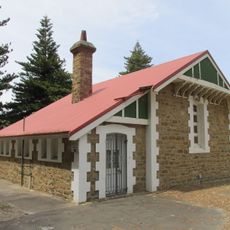
Esperance RSL Building, Norfolk Island Pine Trees and War Memorial
856 m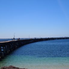
Tanker Jetty, Esperance
1.9 km
Norfolk Pine Trees
831 m
Adventureland Miniature Railway
183 m
Rotary Dempster Head Lookout
1.2 km
Tanker Jetty
1.8 km
Esplanade
1.2 km
Lovers Cove Beach
1.3 km
Bow Park
494 m
West-Second Beach
1.9 km
Blue Haven
3.2 km
Rotary Lookout
1.2 km
Scenic viewpoint
1.3 km
Scenic viewpoint
1.8 km
Blue Haven
3.7 km
Memorial
880 mReviews
Visited this place? Tap the stars to rate it and share your experience / photos with the community! Try now! You can cancel it anytime.
Discover hidden gems everywhere you go!
From secret cafés to breathtaking viewpoints, skip the crowded tourist spots and find places that match your style. Our app makes it easy with voice search, smart filtering, route optimization, and insider tips from travelers worldwide. Download now for the complete mobile experience.

A unique approach to discovering new places❞
— Le Figaro
All the places worth exploring❞
— France Info
A tailor-made excursion in just a few clicks❞
— 20 Minutes