Raguenès
Location: France métropolitaine
GPS coordinates: 47.79101,-3.78941
Latest update: November 16, 2025 21:07
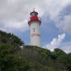
Port Manec'h lighthouse
3.9 km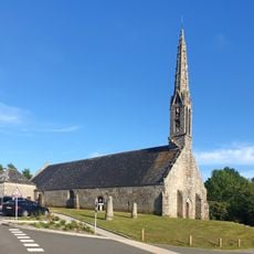
Saint-Philibert's chapel
3.6 km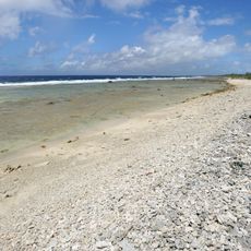
Plage de Tahiti
130 m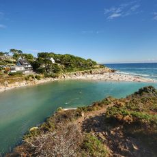
Anse de Rospico
1.7 km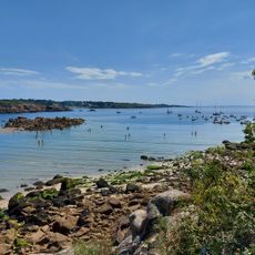
Plage de Port-Manec’h
4 km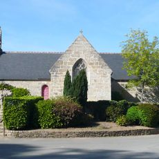
Chapelle Saint-Nicolas de Port-Manec'h
3.8 km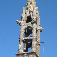
Chapelle Sainte-Barbe de Névez
3.3 km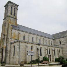
Église Sainte-Thumette de Névez
3.2 km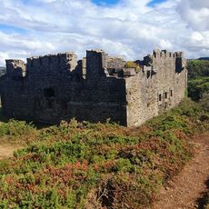
Raguenes
317 m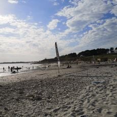
Dourveil
1.7 km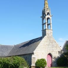
Chapelle Notre-Dame-de-la-Clarté de Trémorvézen
969 m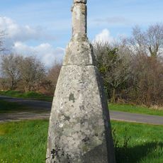
Menhir christianisé de Kernalec
3.4 km
Dolmen, kerascoët
1.5 km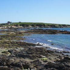
Retranchement protohistorique
1 km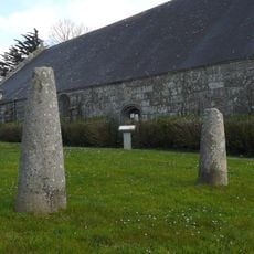
Stèle de l’âge du fer de Saint-Philibert
3.7 km
Stèle protohistorique
3.2 km
Plage du Don
3.2 km
Kersidan
2.5 km
Trezcao
3.7 km
Les chaumières de Kerascoët
1.1 km
The Dog’s Head
4.1 km
Sculpture, Work of art
354 m
Croix de Kerhoren
859 m
Dolmens de Kerascoët
1.5 km
Wayside cross
3.4 km
Memorial, commemorative plaque
888 m
Memorial, commemorative plaque
895 mReviews
Visited this place? Tap the stars to rate it and share your experience / photos with the community! Try now! You can cancel it anytime.
Discover hidden gems everywhere you go!
From secret cafés to breathtaking viewpoints, skip the crowded tourist spots and find places that match your style. Our app makes it easy with voice search, smart filtering, route optimization, and insider tips from travelers worldwide. Download now for the complete mobile experience.

A unique approach to discovering new places❞
— Le Figaro
All the places worth exploring❞
— France Info
A tailor-made excursion in just a few clicks❞
— 20 Minutes